What is recorded here
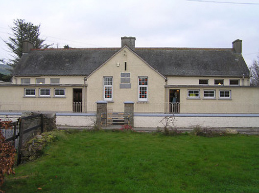
Detached ten-bay double-height national school, dated 1914, on a symmetrical plan with two-bay double-height gabled projecting lower bay to centre having four-bay single-storey flat-roofed flanking bays, and nine-bay double-height rear (south) elevation. Refenestrated. Pitched slate roof on a T-shaped plan with decorative terracotta ridge tiles, rendered chimney stacks, rendered bargeboards to gables, and cast-iron rainwater goods on exposed timber eaves. Flat bitumen felt roofs to flanking bays with rendered eaves. Painted roughcast walls (painted rendered, ruled and lined wall to front (north) elevation of main block) with three cut-limestone date stones/plaques. Square-headed window openings (grouped in three- and four-part arrangements) with concrete sills, and replacement uPVC casement windows. Square-headed door openings with timber doors. Set back from line of road with painted roughcast boundary wall having rendered chamfered coping supporting iron railings, rock-faced cut-stone piers having concrete capping, and iron gate.
A well-appointed modest-scale school built to a standard design prepared by or derived from the output of the Board of Works or Office of Public Works accommodating a number of classroom blocks with associated services ranges in a wholly integrated symmetrical composition. However, although the original composition attributes survive in place the external expression of the school has not benefited from the replacement fittings inserted to the openings. The school remains an important element of the architectural heritage of Owning on account of the status as the earliest-surviving purpose-built educational facility in the locality having historic associations with the Order of Saint John of God.
This does not grant access. Most recorded buildings are privately owned; view them only from public ground unless the owner allows entry.
Places near here
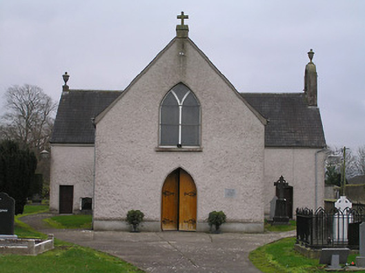 Catholic Church of the Assumptionchurch/chapel · 75 yd
 Owning Church (in Ruins)Church · 81 yd
 European YewEuropean Yew · 95 yd
 ToberunnaHoly well · 261 yd
 Owning Portal TombArchaeological place · 435 yd
 CastleCastle, unclassified · 1182 yd
 Burns WoodForest · 1686 yd
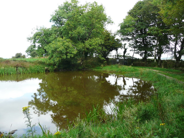 Dwyer Homestead and Pond, BregaunVisitor information · 1.4 mi
 Kilmacoliver HillMountain / peak · 1.5 mi
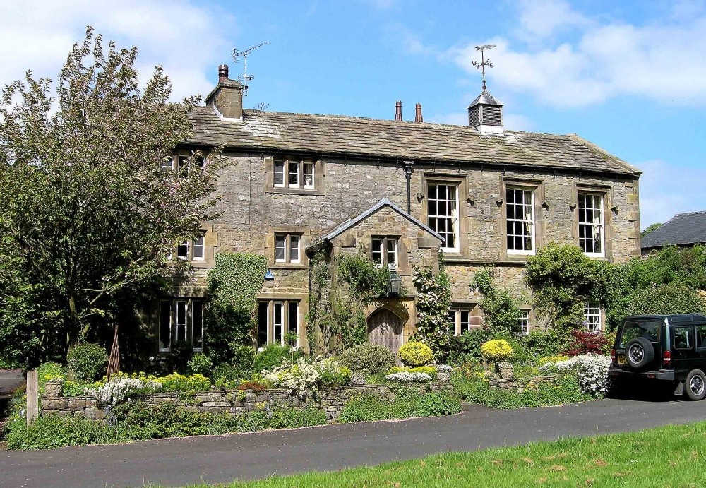 Old Court (Site of)Castle, unclassified · 1.6 mi
 Kilkieran CrossesHeritage attraction · 1.7 mi
 Woodland LoopWalking route · 2.0 mi
Other information
Photo: National Inventory of Architectural Heritage · Website use allowed for educational or private purposes with source credit