
What is recorded here
On the E side and near the mouth of the narrow river valley that runs between the two hills N of Owning. Comprising a ruined chamber facing SSE represented by a broken W portal, a door-stone, the W sidestone and a leaning-in backstone. The E portal is prostate and the adjoining E sidestone is displaced. The roofstone (L 2.9m; Wth 2.5m; T 0.5m), has been dislodged to the W and its upper end rests on the backstone and W sidestone. A large slab beside the tomb to the S may be the broken upper portion of the W portal. Fogarty records that the monument was intact until c. 1825-30 and that the roofstone 'rested level on 7 large flags' (c. 1850, 21, 54). (Fogarty c. 1850, 21, 54; Borlase 1897, vol. 2, 408, Iverk no. 3; Powell 1941, 22, no. 25; Ó Nualláin 1983, 97, no. 3)
Compiled by: Paul Walsh
Date of upload: 12 May 2021
On the E side and near the mouth of the narrow river valley that runs between the two hills N of Owning. Comprising a ruined chamber facing SSE represented by a broken W portal, a door-stone, the W sidestone and a leaning-in backstone. The E portal is prostate and the adjoining E sidestone is displaced. The roofstone (L 2.9m; Wth 2.5m; T 0.5m), has been dislodged to the W and its upper end rests on the backstone…
From the National Monuments Service (Archaeological Survey of Ireland) record KK035-053
The monument record does not grant public access. Check the route and ask the landowner before entering private land.
- What survives
- Recorded monument
Places near here
Photo credits
- A.-K. D., Wikimedia Commons · CC BY-SA 4.0
- National Inventory of Architectural Heritage
- Sitomon, Wikimedia Commons · CC BY-SA 2.0
- Humphrey Bolton, Geograph · CC BY-SA 2.0
- Sarahwalshireland, Wikimedia Commons · CC BY-SA 4.0
- A.-K. D., Wikimedia Commons · CC0
- Olivier BEZES, Wikimedia Commons · CC BY 2.5
- Mike Searle, Wikimedia Commons · CC BY-SA 2.0
.jpg/250px-Owning_Portal_Tomb_July_2017_(2).jpg "Photo: A.-K. D., Wikimedia Commons · CC BY-SA 4.0") Owning Portal TombArchaeological place · 2 yd
Owning Portal TombArchaeological place · 2 yd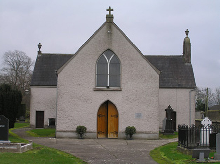 Catholic Church of the AssumptionChurch/chapel · 376 yd
 Owning Church (in Ruins)Church · 403 yd
 European Yew412 yd
 TobernamonineHoly well · 1.1 mi
 Dwyer Homestead and Pond, BregaunVisitor information · 1.4 mi
 Kilmacoliver HillMountain / peak · 1.5 mi
 Kilmacoliver/ Tullahought School 1876-1973Visitor information · 2.2 mi
 Ponsonby Memorial TowerMonument · 2.6 mi
 St. John's WellSpring · 2.7 mi
 Lebanon Cedar2.7 mi
_-_geograph.org.uk_-_4570968.jpg/250px-Castles_of_Leinster,_Tibberaghny,_Kilkenny_(3)_-_geograph.org.uk_-_4570968.jpg "Photo: Mike Searle, Wikimedia Commons · CC BY-SA 2.0") Tiberaghney CastleCastle, tower house · 3.2 mi
Tiberaghney CastleCastle, tower house · 3.2 miMore archaeology and monuments in County Kilkenny · All of County Kilkenny
What do you know about this place?