What is recorded here
The terrier of the 17th century Down Survey map of Tullow Parish recorded that ‘upon the land of Tulloephellim is a Towne, A Church & a Castle’ (NLI MS 726). The church and castle of Tullow are depicted on the Down Survey map of Tullow parish (NLI MS 726). Present St. Columba's C of I parish church is presumed to have replaced earlier medieval parish church (CW008-045006-). Present 19th century church stands at NE end of Tullow town (CW008-045----) in N quadrant of rectangular shaped graveyard (dims. 32m N-S; 44m E-W) on high ground with site of Tullow Castle (CW008-0450023-) 30m to NNE. The graveyard contains a circular font (CW008-045012-) and the base of a cross (CW008-045013-). Modern graveyard extension to the N and E of earlier graveyard. Graveyard contains memorials the majority of which date from the post-medieval period. Three 17th century graveslabs (CW008-045015-; CW008-045016-; CW008-045017-) in the graveyard have not been located.
Compiled by: Caimin O'Brien
Date of upload: 25 September 2014
The monument record does not grant public access. Check the route and ask the landowner before entering private land.
- What survives
- Recorded monument
Places near here
 Church in TullowphelimChurch · 12 yd
 Saint Columba's Church (Tullowphelim)church/chapel · 12 yd
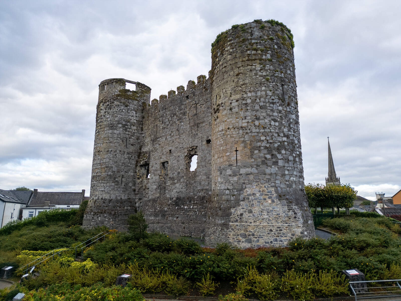 CastleCastle, motte · 48 yd
 CrossCross, High cross (present location) · 376 yd
 Marked as Abbey (site of)Religious house, Augustinian friars · 396 yd
 European ashEuropean ash · 1.3 mi
 Coppenagh CastleCastle, tower house · 1.8 mi
 Rath WoodForest · 2.7 mi
 Acaun Church (in ruins), GraveyardChurch · 4.2 mi
 Kilmurry Church (in ruins), GraveyardChurch · 4.2 mi
 Altamont House and GardensHeritage attraction · 4.7 mi
 Altamont Gardens MapVisitor information · 4.7 mi