What is recorded here
Situated in grassland in upland area with old woodland to N as depicted on the 1838 ed. OS 6-inch map. Traverston House located 320m to NNE. Outline of possible moated site (approx. ext. dims. 43m NNW-SSE x 52m NE-SW) visible on Digital Globe aerial photograph. Depicted as a trapezoidal shaped field on the 1838 ed. OS 6-inch map and not as an antiquity. Present remains consist of a roughly square-shaped area enclosed by a low wide earthen bank with traces of an external fosse.
Compiled by: Caimin O'Brien based on details kindly provided by Faith Bailey.
Date of upload: 2 August 2018
The monument record does not grant public access. Check the route and ask the landowner before entering private land.
- What survives
- Recorded monument
Places near here
 Enclosure in AddaneEnclosure · 892 yd
 Mount Island Househouse · 1489 yd
 Monaquill Ho.Castle, unclassified · 1.0 mi
 Dolla Garda Síochána Stationgarda station/constabulary barracks · 1.0 mi
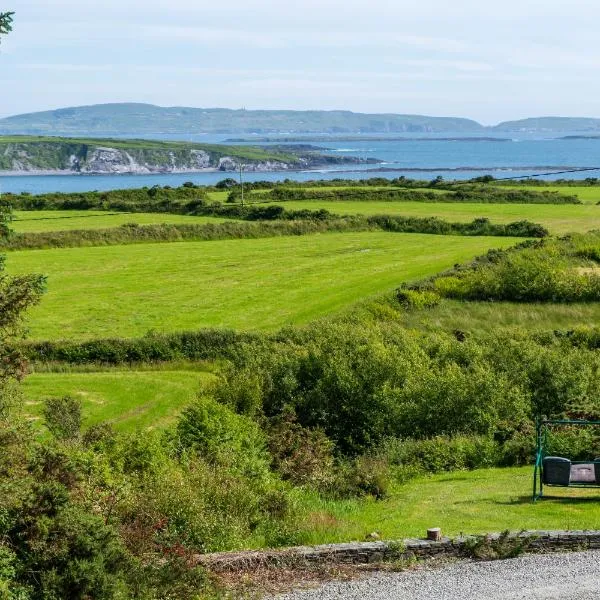 ToberanureHoly well · 1.7 mi
 Sweet ChestnutSweet Chestnut · 1.9 mi
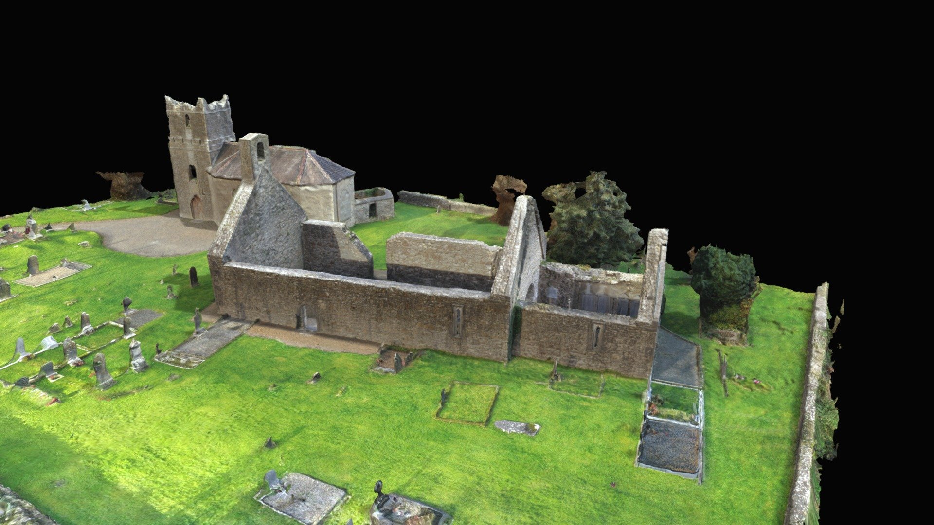 CastleCastle, Anglo-Norman masonry castle · 2.2 mi
 Cooneen HillMountain / peak · 2.3 mi
 Ballincurra HillMountain / peak · 2.5 mi
 Silvermines ViewpointViewpoint · 2.6 mi
 Our Lady Assumed into HeavenMemorial · 2.9 mi
 The MinerMemorial · 2.9 mi