What is recorded here
Situated in partially reclaimed pasture. Templepatrick Church (WM017-061----) located in centre of sub-rectangular shaped graveyard. Annotated as ‘Grave Yard’ on the revised 1913 ed. OS 25-inch map. Visible as a disused sub-rectangular shaped tree-planted area on Digital Globe aerial photography.
Described in 1980 as a sub-rectangular-shaped graveyard (approx. dims. 48m N-S x 50 E-W) containing several 18th and 19th-century headstones, which are concentrated on the S side of the church. Numerous low banks surround the graveyard on all sides. Some of these banks appear to be the remains of 18th or 19th century enclosures, however some appear to be more ancient and may represent the remains of a clustered settlement depicted on the 1657-9 Down Survey parish map of Templepatrick (NLI, MS 723-4).
Compiled by: Alison McQueen, Vera Rahilly and Caimin O’Brien
Date of upload: 13 December 2018
A local ancient tomb; wider significance not recorded.
The monument record does not grant public access. Check the route and ask the landowner before entering private land.
- What survives
- Recorded monument
Places near here
 Church (in Ruins)Church · 12 yd
 Partially hachuredFairy fort / earthen ringfort · 784 yd
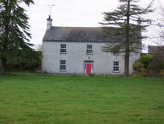 Dalystown Househouse · 887 yd
 Duneel CastleCastle, tower house · 1.4 mi
 Site of Doon CastleCastle, ringwork · 1.5 mi
 Sessile OakSessile Oak · 2.3 mi
 Ancient Ring FortWood · 3.6 mi
 Abbeyshrule AbbeyRuins · 4.1 mi
 Craft WorkshopHeritage attraction · 4.2 mi
 Guest ServicesVisitor information · 4.3 mi
 Goldsmith Birthplace, PallasVisitor information · 4.7 mi