What is recorded here
There is no paper file in the ASI archive for this monument. In poorly drained grassland with ringfort (WM012-020----) 360m to W. Depicted on the OSi 25-inch map as a circular-shaped area (diam. c. 30m). Outline of levelled or degraded monument visible on Digital Globe orthoimage taken between 2011-13. See attached Google Earth orthoimages
Compiled by: Caimin O'Brien
Date of upload: 16 August 2023
From the National Monuments Service (Archaeological Survey of Ireland) record WM007-088
Places near here
Photo credits
- National Inventory of Architectural Heritage
- Jeanne dArc at English Wikipedia, Wikimedia Commons · CC BY-SA 3.0
- Rev William Falkiner (Life time: d 1910), Wikimedia Commons · Public domain
- Malene Thyssen, Wikimedia Commons · CC BY-SA 3.0
- Steve & Jemma Copley on Flickr, Wikimedia Commons · CC BY-SA 2.0
- fr:Gavigan:Knockdrin_a.jpg/Knockdrin_a.jpg, Wikimedia Commons · GFDL
- Marathon, Wikimedia Commons · CC BY-SA 2.0
- Illustrator not named; The Dublin Penny Journal (1835), public scan from Internet Archive and JSTOR, Wikimedia Commons · Public domain
- Oliver Dixon, Wikimedia Commons · CC BY-SA 2.0
- kevin higgins, Geograph · CC BY-SA 2.0
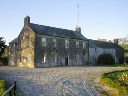 Streamstown HouseHouse · 901 yd
 CrossbaneCross, Wayside cross · 1309 yd
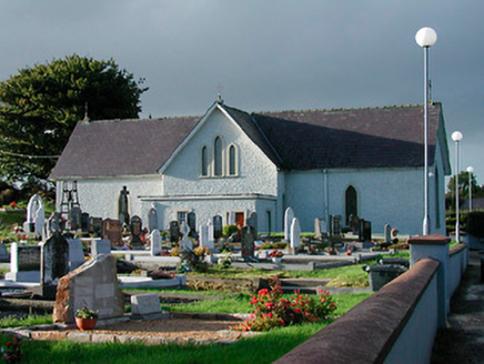 Catholic Church of Saint John the BaptistChurch/chapel · 1384 yd
 KnockeyonMountain / peak · 1.0 mi
 Mortimer's CastleArchaeological place · 1.6 mi
 European Beech3.5 mi
 Silver Fir3.6 mi
 Knockdrin CastleCastle · 4.3 mi
 Font in ForeFont · 4.6 mi
_(page_1_crop).jpg/250px-Fore_Abbey,_County_Westmeath,_1835_(IA_jstor-30004138)_(page_1_crop).jpg "Photo: Illustrator not named; The Dublin Penny Journal (1835), public scan from Internet Archive and JSTOR, Wikimedia Commons · Public domain") Fore AbbeyHeritage attraction · 4.8 mi
Fore AbbeyHeritage attraction · 4.8 mi Ben of ForeMountain / peak · 5.2 mi
 Church IslandIsland · 5.3 mi
More archaeology and monuments in County Westmeath · All of County Westmeath
What do you know about this place?Tap to add a comment or ask a question