What is recorded here
Situated on a slight rise, in fairly level pasture, with wide views in all directions, overlooking the W shoreline of Lough Ennell, c. 200m to E. Monument described in 1977 as a very large trapezoidal-shaped area (dims. 72m N-S; 58m E-W) enclosed by a bank, an intervening fosse and traces of an outer bank. The inner earth and stone bank is very wide and low and has been breached and broken down in several places. The NW corner is slightly raised and in contrast, the SE and SW corners are wide, perhaps having been flattened out over time. There are very slight remains of a very wide fosse on all sides, which is almost completely infilled. There are slight suggestions of an outer bank. There is no definite trace of the original entrance. The interior is fairly even with a slight rise towards the centre. There is a low curvilinear bank cutting off the NE corner within, although its significance is not obvious and it may be a later feature.
See attached profiles of monument surveyed and drawn by the ASI.
Compiled by Alison McQueen, Vera Rahilly and Caimin O’Brien.
Date of upload: 27 September 2019
The monument record does not grant public access. Check the route and ask the landowner before entering private land.
- What survives
- Recorded monument
Places near here
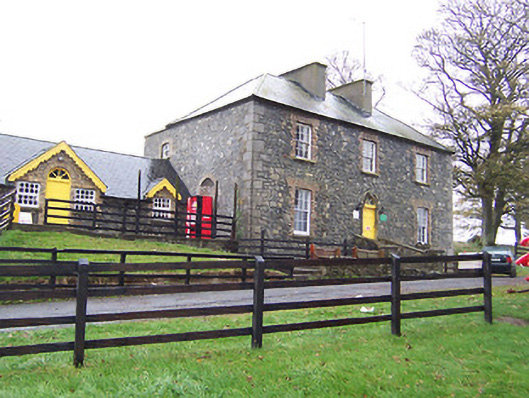 Lilliput Househouse · 688 yd
 CastleCastle, tower house · 1077 yd
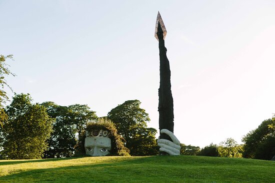 Hachured, Dun-na-SgiathFairy fort / earthen ringfort · 1282 yd
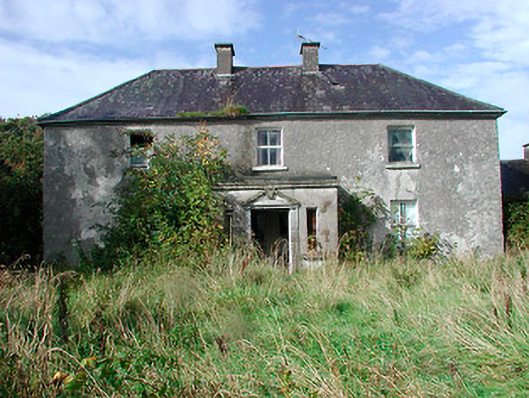 Kilcooley Housefarm house · 1397 yd
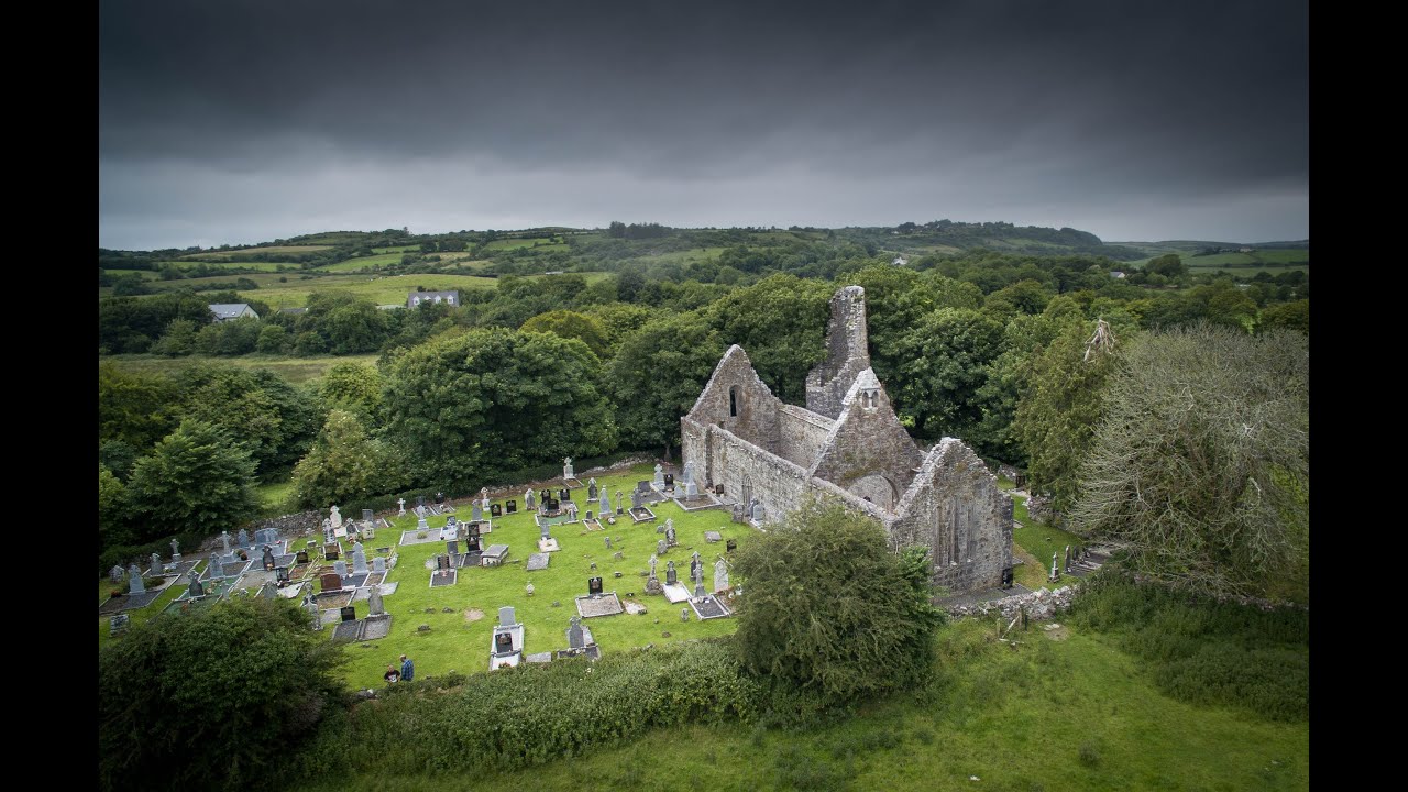 Bawn in Dysart (moyashel & Magheradernon By.)Bawn · 1738 yd
 Derrynafola FortFairy fort / ringfort · 1.2 mi
 Dysart IslandIsland · 1.4 mi
 Ash IslandIslet · 1.6 mi
 Ardan WoodWood · 6.6 mi
 Bonfire HillMountain / peak · 6.9 mi
 Kilmalady HillMountain / peak · 8.4 mi
 High WoodWood · 9.1 mi