
What is recorded here
Situated on N facing slope of a ridge in grassland, to the N of a farm yard, overlooking Ballynafid Lake 360m to NW. Ringfort (WM012-091----) 155m to E. An unusually large circular shaped area (approx. diam. 54m N-S; 47m E-W) enclosed by an earthen bank and external fosse. The bank has been levelled from NE-E-SE, and the outer face of the bank has been lined with dry-stone walling from SSE-SSW. The external fosse is visible from SSW-NW. A large hay barn has been built in the SE quadrant of the interior, and a wide trackway crosses the interior E-W, cutting through the enclosing bank at W, where a gate has been erected. The interior slopes gently towards N.
Compiled by: Frank Coyne and Caimin O'Brien
Date of upload: 16 February 2018
The monument record does not grant public access. Check the route and ask the landowner before entering private land.
- What survives
- Recorded monument
Places near here
 Partially indicatedFairy fort / earthen ringfort · 215 yd
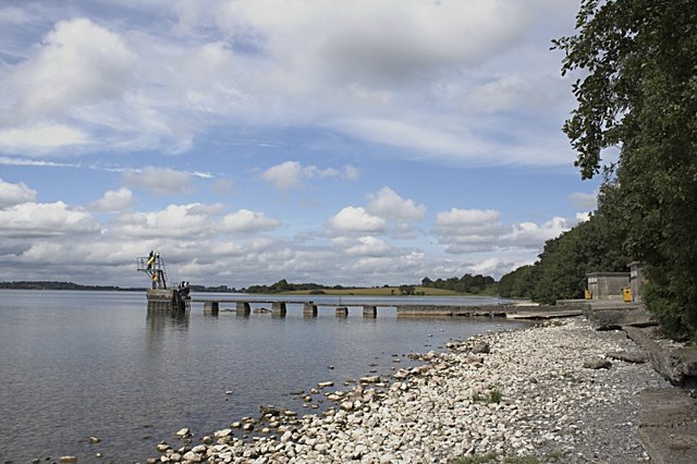 OutlinedFairy fort / earthen ringfort · 385 yd
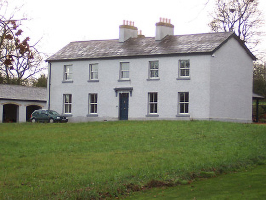 Portnashangan Househouse · 515 yd
 ‘Abbey’Church · 775 yd
 CastleCastle, motte · 896 yd
 Scragh Bog Nature ReserveNature reserve · 1368 yd
 Church IslandIsland · 1.4 mi
 Lady's IslandWood · 1.9 mi
 Srudarra IslandIslet · 2.0 mi
 Nugent's CastleCastle · 2.2 mi
 Saint Brigid's WellSpring · 2.8 mi
 Bridge Memorial (Kenna)Memorial · 2.8 mi
Other information
Photo: Credit not shown in the picture search · Rights wording not checked; contact us if this picture should be removed