What is recorded here
Depicted as a square-shaped earthwork similar to a moated site on the 1837 ed. OS 6-inch map and outlined as a small square-shaped field (dims. c. 34m N-S; 32m E-W) on the revised 1910 ed. OS 25-inch map. Visible as a cropmark on the 2005 OSI aerial photograph. This monument was located in a different location on the Record of Monuments and Places [RMP] map for Co. Westmeath (1997) where it is shown to be located three fields to the E. However there is no cartrographic evidence or any visible cropmark on aerial photographs to suggest that there was ever a monument at this location. There is no paper file and it is possible that the location of the moument is incorrect on the RMP map. This RMP number possibly relates to the possible moated site depicted on the 1837 ed. OS 6-inch map which was not marked as a monument on the published RMP map for Co. Westmeath in 1997. Visible as a cropmark on Bing Maps aerial photograph taken between 06-07 November 2011.
See attached document for image of cropmark visible on Bing Maps at www.bing.com/maps
Compiled by: Caimin O'Brien
Date of upload: 24 July 2013
The monument record does not grant public access. Check the route and ask the landowner before entering private land.
- What survives
- Recorded monument
Places near here
 milestone/milepostmilestone/milepost · 461 yd
 Site of CastleCastle, unclassified · 1015 yd
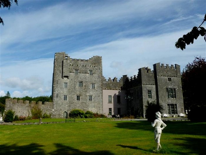 CastleCastle, unclassified · 1042 yd
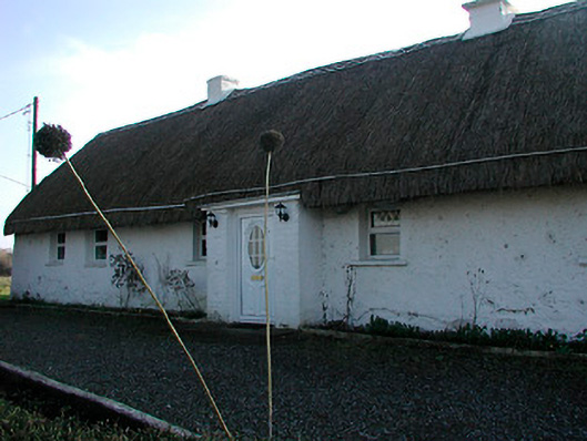 farm housefarm house · 1365 yd
 OutlinedEnclosure · 1.3 mi
 St. Bridgets WellHoly well · 1.4 mi
 Derrygreenagh HillMountain / peak · 3.2 mi
 Knockdrin HillMountain / peak · 3.6 mi
 Mollie Moo's Pet FarmHeritage attraction · 5.2 mi
 Belvedere house and gardensVisitor information · 5.4 mi
 Roundhill WoodForest · 8.4 mi
 Rahin WoodsForest · 8.8 mi