What is recorded here
Situated at the top of a slight hill, on the pleasure grounds of Lynnbury House, on the NE shores of Lough Ennell. Annotated 'earthwork' on Larkin’s 1808 map of Co. Westmeath (NLI, MS 46,580 ). Depicted on the 1840 ed. OS 6” map as a substantial oval-shaped enclosure with concentric and radial pathways within. Depicted on the revised 1913 ed. OS 25” map as a roughly oval-shaped area enclosed by a boundary and containing a long rectangular-shaped building within the centre. Possible monument described in 1981 as no surface remains visible of the earthwork indicated on Larkin's map. This area is occupied by a walled garden on the estate grounds of a large house. The garden is a roughly circular-shaped area and is enclosed by a stone wall (approx. H 3m). It is surrounded by an overgrown broadleaf plantation, which is in turn enclosed by a second stone wall. This walled garden appears to be contemporary with the designed landscape of the period dwelling. There are no traces of any earthworks in the area. If such existed, they were most probably levelled when the walled garden was established.
Situated at the top of a slight hill, on the pleasure grounds of Lynnbury House, on the NE shores of Lough Ennell. Annotated 'earthwork' on Larkin’s 1808 map of Co. Westmeath (NLI, MS 46,580 ). Depicted on the 1840 ed. OS 6” map as a substantial oval-shaped enclosure with concentric and radial pathways within. Depicted on the revised 1913 ed. OS 25” map as a roughly oval-shaped area enclosed by a boundary and…
From the National Monuments Service (Archaeological Survey of Ireland) record WM026-004
The monument record does not grant public access. Check the route and ask the landowner before entering private land.
- What survives
- Recorded monument
Places near here
Photo credits
- National Inventory of Architectural Heritage
- Liam Hughes from Milwaukee, WI, USA, Wikimedia Commons · CC BY 2.0
- Bridget Neville, Wikimedia Commons · CC BY-SA 4.0
- Kieran Campbell, Geograph · CC BY-SA 2.0
- MookiePlays, Wikimedia Commons · CC BY-SA 4.0
- Kieran Campbell, Geograph · Creative Commons Attribution-ShareAlike 2.0
- EecherplazGinkgo06.jpg : Cayambe derivative work: Ginkgotree ( talk ), Wikimedia Commons · CC BY-SA 3.0
 LynnburyFarmyard complex · 233 yd
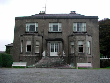 LynnburyCountry house · 273 yd
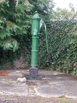 water pump361 yd
 LynnburyHouse, gates/railings/walls, gate lodge · 361 yd
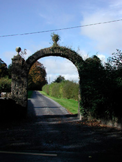 Lynn HouseDemesne walls/gates/railings · 364 yd
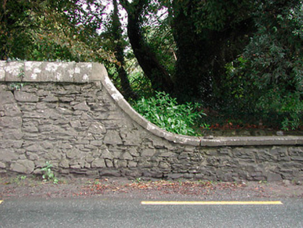 LynnburyDemesne walls/gates/railings · 412 yd
 Belvedere house and gardensVisitor information · 1.5 mi
 Saint Brigid's WellSpring · 3.7 mi
 WestmeathVisitor information · 5.3 mi
 Rattin CastleCastle, tower house · 8.3 mi
 Fairy fort / earthen ringfort in ReynellaFairy fort / earthen ringfort · 9.2 mi
 Ginkgo9.5 mi
More archaeology and monuments in County Westmeath · All of County Westmeath
What do you know about this place?