What is recorded here
In pasture, 145m to W of a townland boundary with Ballyknockane, immediately N of a stream. Depicted on the 1897 ed. OSi 25-inch map as a subrectangular-shaped field (75m NW-SE; 65m NE-SW) and not as an antiquity. Possible monument is not visible on OSi aerial orthimage taken 2005-2012, on Digital Globe orthophoto taken 2011-2013 or on Google Earth orthoimage taken 28/06/2018.
See attached Google Earth orthoimage
Compiled by: Alison McQueen and Vera Rahilly
Date of upload: 23 October 2020
The monument record does not grant public access. Check the route and ask the landowner before entering private land.
- What survives
- Recorded monument
Places near here
 Burial Gd. for ChildrenChildren's burial ground · 619 yd
 Ballynahaha Housegates/railings/walls · 675 yd
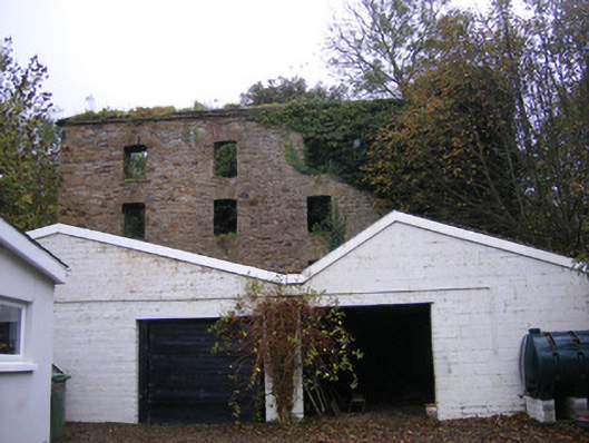 mill (water)mill (water) · 1561 yd
 Lissamota CastleCastle · 1750 yd
 Castle (in ruins)Castle, tower house · 1.0 mi
 Indicated (1924).Field boundary · 1.1 mi
 Famine stoneMemorial · 1.2 mi
 KnockfeerinaMountain / peak · 1.6 mi
 Flat cemetery in Kiltenan SouthFlat cemetery · 2.3 mi
 Kinnoor WellSpring · 2.5 mi
 Dysert AenghusaHeritage attraction · 4.3 mi
 LaghtpatrickSpring · 4.4 mi