What is recorded here
The hillfort was recently described in the Atlas of Hillforts of Britain and Ireland as following; 'W of the village of Killmallock, circular multiple enclosure surrounding the summit of isolated hill overlooking the Loobagh River 200m to the S. The site has a total footprint of approximately 2.8ha. Bivallate for most…
Read the whole record
From the National Monuments Service (Archaeological Survey of Ireland) record LI047-092
Places near here
Photo credits
- National Inventory of Architectural Heritage
- The Speckled Bird, Wikimedia Commons · CC BY-SA 4.0
- Andreas F. Borchert, Wikimedia Commons · CC BY-SA 4.0
- No machine-readable author provided. Christian1965~commonswiki assumed (based on copyright claims)., Wikimedia Commons · Public domain
- Mike Searle, Wikimedia Commons · CC BY-SA 2.0
- Colin Park, Geograph · CC BY-SA 2.0
- CaitNi, Wikimedia Commons · CC BY-SA 4.0
- Unknown author Unknown author, Wikimedia Commons · Public domain
 bridge1121 yd
 Habitation site in MountblakeneyHabitation site · 1665 yd
 Garroose BridgeBridge · 1753 yd
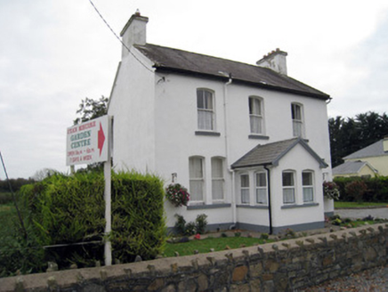 San GiovanniHouse · 1.2 mi
 Kings CastleCastle, tower house · 2.6 mi
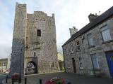 King John's CastleCastle · 2.6 mi
 ‘Cloigtheach (Round Tower)’Round tower · 6.3 mi
 Áine and Gearóid Iarla: Lough GurLegend location · 9.7 mi
Explorer Tom Áine and Gearóid Iarla: Lough Gur has a goddess for the lake and a sleeping lord in the old stories. I thought I was coming to admire water and stones. Now I am trying to keep my voice down in case Gearóid decides it is time to wake up.
 Castle (in Ruins)Castle, Anglo-Norman masonry castle · 9.8 mi
Explorer Tom Castle in Kilbolane is an 'enclosure' castle with corner towers that survived. The rest was demolished to build Kilbolane House around 1696. So this is basically a garden wall with attitude. The moat parts are still there, so look for water or mud.
 SlievereaghMountain / peak · 10 mi
 CarrigeenamronetyMountain / peak · 11 mi
 Battle of LiscarrollMajor battlefield · 12 mi
More archaeology and monuments in County Limerick · All of County Limerick
What do you know about this place?Tap to add a comment or ask a question