What is recorded here
Enclosure not depicted as an antiquity on OSI 6-inch maps and described in 1985 by the 'Castleisland District Archaeological Survey' as a 'fort' where they were refused access to the site by the landowner' (SMR file). Outline of possible 'fort' not visible on Digital Globe orthophoto taken between 2011-13. According to local folklore collected from Lackbrooder School this was known locally as 'a Fairy Fort' (The Schools’ Collection, Volume 0450, Page 149; https://www.duchas.ie/en/cbes/4713231/4709630/4760321).
Compiled by: Caimin O'Brien
Date of upload: 27 April 2022
The monument record does not grant public access. Check the route and ask the landowner before entering private land.
- What survives
- Recorded monument
Places near here
 KnockateeMountain / peak · 1.7 mi
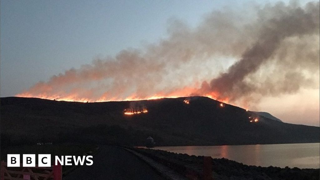 Burnt spread in Gneeves (trughanacmy By.)Burnt spread · 2.0 mi
 Mount EagleMountain / peak · 2.3 mi
 Enclosure in BallinardEnclosure · 3.0 mi
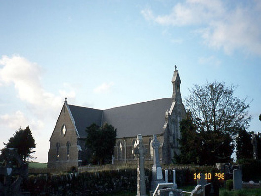 Saint Carthage's Catholic Churchchurch/chapel · 3.5 mi
 Kilmurry CastleCastle · 3.8 mi
 Castle (in ruins)Castle, unclassified · 3.8 mi
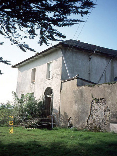 Kilmurry Househouse · 4.0 mi
 Three CountiesPicnic place · 4.6 mi
 Crag CaveCave · 5.6 mi
 Barna BogForest · 8.3 mi
 Kilflynn Nature ReserveNature reserve · 14 mi