What is recorded here
Cropmark of large circular-shaped enclosure (approx. diam. 48m) visible on Digital Globe aerial photograph. This enclosure is depicted as a post-1700 tree-ring on all editions of the OS 6-inch maps.
See attached image of Google Earth photograph taken 28/06/2018 which shows cropmark of the enclosure.
Compiled by: Caimin O'Brien based on details kindly provided by Terry Connolly
Date of upload: 20 February 2019
The monument record does not grant public access. Check the route and ask the landowner before entering private land.
- What survives
- Recorded monument
Places near here
 Saint Johns RockRitual site, holy/saint's stone · 117 yd
 Saint Johns WellHoly well · 147 yd
 Knockbarron WoodForest · 747 yd
 Drumcullen Church in ruinsChurch · 1249 yd
 CastleCastle, tower house · 1358 yd
 Bawn in Annaghmore AND AnnaghbegBawn · 1370 yd
 Moneyguyneen WoodWood · 1.1 mi
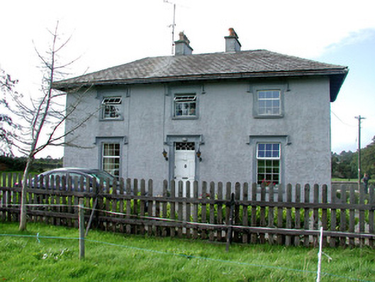 Glenviewhouse · 1.2 mi
 Waypoint 1Visitor information · 1.5 mi
 Castletown and GlinskVisitor information · 1.6 mi
 Kinnitty Castle LoopWalking route · 2.0 mi
 KnocknamanMountain / peak · 2.6 mi