
What is recorded here
Ringfort and hut site (KE031-018001-) surveyed in 1987 by the Castleisland District Archaeological Survey and described as follows; 'In the NW corner of a field in pastureland which slopes very steeply down south to a narrow stream which is running in an E-W direction. The monument is a sub-circular area well scarped up on the downslope to the south while the northern half is defined by an earthen bank. A fosse survives to the W and N. The entire monument including the interior is heavily overgrown making it difficult to examine. The interior despite the scarping up falls steeply to the south. Towards the centre of the interior is the remains of a stone walled circular hut site. The only possible entrance noticeable is a break in the scarp to the south 2.5m wide'.
Compiled by: Caimin O'Brien
Date of upload: 5 April 2022
The monument record does not grant public access. Check the route and ask the landowner before entering private land.
- What survives
- Recorded monument
Places near here
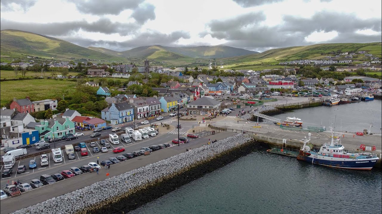 Burnt spread in Dooneen (trughanacmy By.)Burnt spread · 818 yd
 Enclosure in Dooneen (trughanacmy By.)Enclosure · 1252 yd
 Crag CaveCave · 1591 yd
 Kilbannivane Church (in ruins)Church · 1.2 mi
 Ballymacadam Castle (in ruins)Castle, tower house · 1.4 mi
 Church in GlanshearoonChurch · 1.7 mi
 Ballyplimoth CastleCastle · 2.0 mi
 KnockateeMountain / peak · 3.6 mi
 Mount EagleMountain / peak · 4.4 mi
 PouldermotCave · 7.7 mi
 Common AlderCommon Alder · 9.0 mi
 Monument WoodWood · 9.5 mi
Other information
Photo: Credit not shown in the picture search · Rights wording not checked; contact us if this picture should be removed