What is recorded here
Hawthorn bush depicted on the 1838 ed. OS 6-inch map as 'Skeaghacroghery' (OF016-022001-) standing on a circular hill or a possible enclosure which was used as a mass site during the penal times. The holy bush and the possible enclosure had been removed by 1908 as this edition of the OS 6-inch map depicts the monument as 'Skeaghcroghery (Site of)' and no enclosure is depicted. Described in the ITA Survey as, 'a low knoll on undulating limestone plateau. The place is tilled and there is no sign of a fort nor is the thing remembered. It was presumably a thorn bush (OF016-022001-)' (ITA Survey 1942). Today there are no visible surface remains.
The above description is derived from the published 'Archaeological Inventory of County Offaly' (Dublin: Stationery Office, 1997). In certain instances the entries have been revised and updated in the light of recent research.
Date of upload/revision: 28 December 2011
The monument record does not grant public access. Check the route and ask the landowner before entering private land.
- What survives
- Recorded monument
Places near here
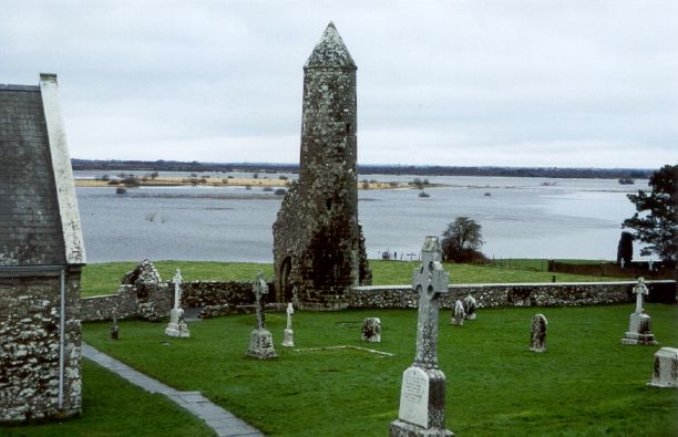 SkeaghacrogheryRitual site, holy tree/bush · 11 yd
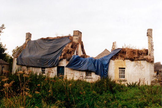 farm housefarm house · 490 yd
 Srah Bridgebridge · 498 yd
 BarrowBarrow, ditch barrow · 696 yd
 Christ's WellSpring · 1263 yd
 Srah CastleRuins · 1686 yd
 Bawn in BallydrohidBawn · 1698 yd
 Charleville ForestWood · 1.1 mi
 Pedunculate OakPedunculate Oak · 1.2 mi
 Ardnagross WellSpring · 2.1 mi
 Grand Canal WayWalking route · 2.3 mi
 Sugar HillMountain / peak · 2.4 mi