What is recorded here
Situated on a low rise, in pasture, overlooking low-lying boggy land to S and SW. Monument described in 1978 as a trapezoidal-shaped area (36m N-S; 22m E-W) enclosed by a bank, an intervening fosse and external bank with entrance gap (basal Wth 1.75m; top Wth 3m) located in the centre of the S side. The inner bank is wide and low and is best preserved on the S and W sides. The intervening fosse is best preserved on the E side where it is wide and deep, otherwise it is shallow and faint on the N and S side and not clearly visible on the W side. The outer bank is best preserved on the E side and there are slight traces on the N and S side, where the ground falls away on a natural slope. A field bank replaces the outer bank on the W side. The interior is uneven due to slight stony outcrops and has a very slight rise in the N half and gentle depressions in the E quadrant.
Compiled by Alison McQueen, Vera Rahilly and Caimin O’Brien.
Date of upload: 25 July 2019
The monument record does not grant public access. Check the route and ask the landowner before entering private land.
- What survives
- Recorded monument
Places near here
 Killininneen Househouse · 1107 yd
 Ardnagragh CastleCastle, tower house · 1346 yd
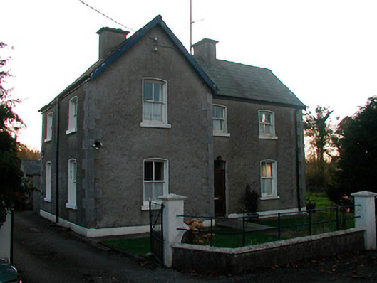 school master's houseschool master's house · 1463 yd
 OutlinedHoly well · 1484 yd
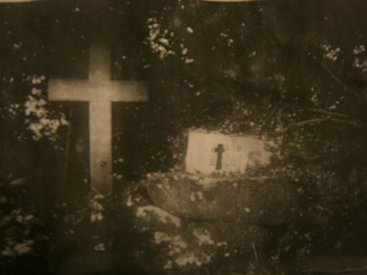 Mass-rock in KillininneenMass-rock · 1561 yd
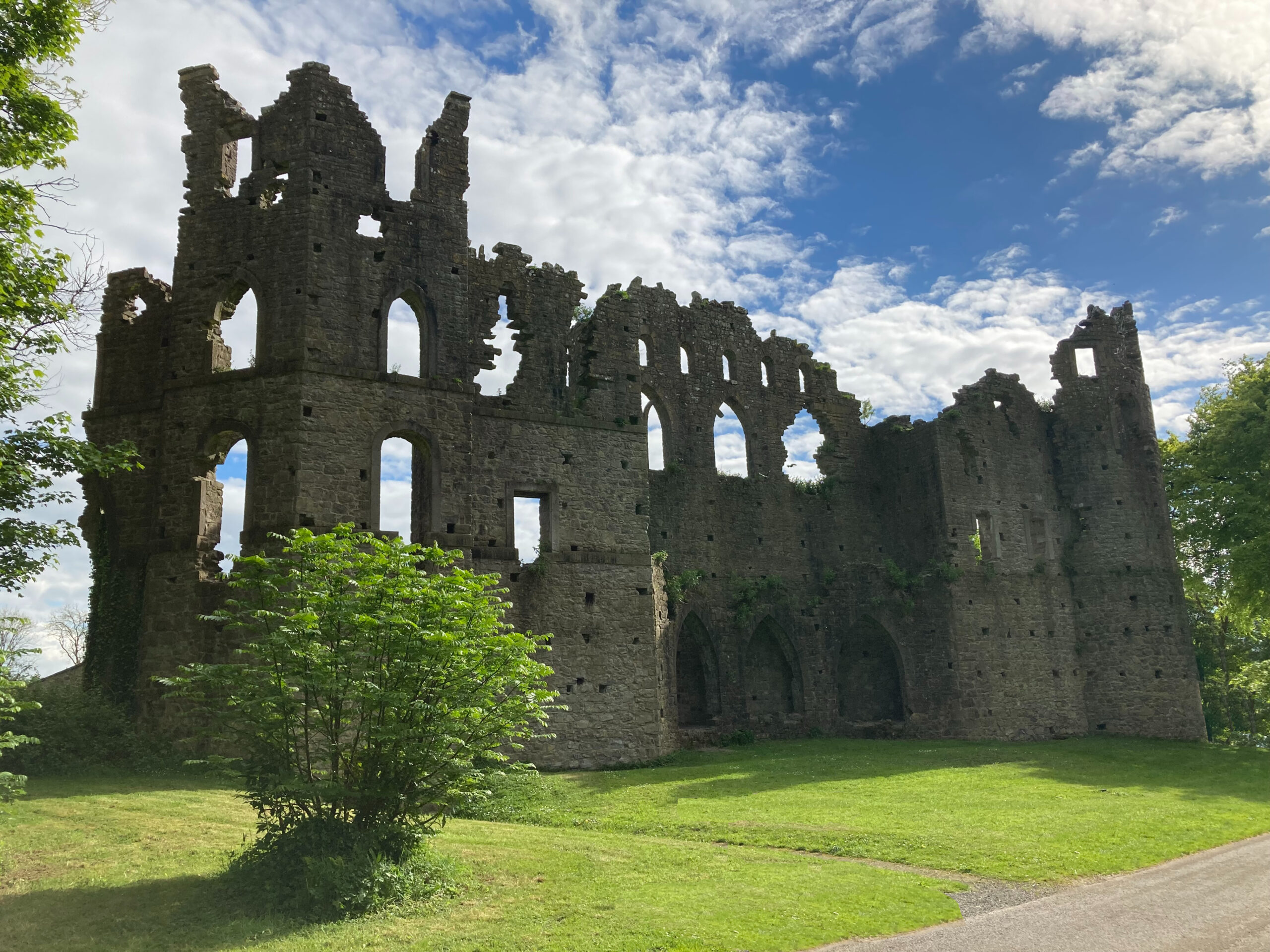 Sterns Folly, The BreenCastle, ringwork · 1.2 mi
 Noughaval CemeteryArchaeological place · 3.3 mi
 Corran IslandIslet · 4.4 mi
 European BeechEuropean Beech · 4.8 mi
 Beam IslandIslet · 7.8 mi
 Athlone Music MuseumMuseum · 7.8 mi