What is recorded here
Situated on SSW-facing slope overlooking wet land to WSW, in undulating pasture, with good views to WSW. Annotated 'Fort' and depicted on the 1837 ed. OS Fair Plan map as a large, oval-shaped earthwork. Depicted on the 1876 ed. OS 6-inch map as a modified oval-shaped enclosure which has been incorporated into field fences. Monument described in 1971 as a roughly D-shaped area (dims. 59m E-W; 56m N-S) enclosed by a stone wall of differing widths and heights and may represent a modern enclosing element of a feature which has since been levelled. The interior has a gentle SSW-facing slope.
Compiled by Alison McQueen, Vera Rahilly and Caimin O’Brien.
Date of upload: 28 August 2019
The monument record does not grant public access. Check the route and ask the landowner before entering private land.
- What survives
- Recorded monument
Places near here
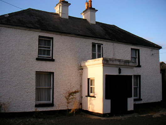 Killaroo Househouse · 726 yd
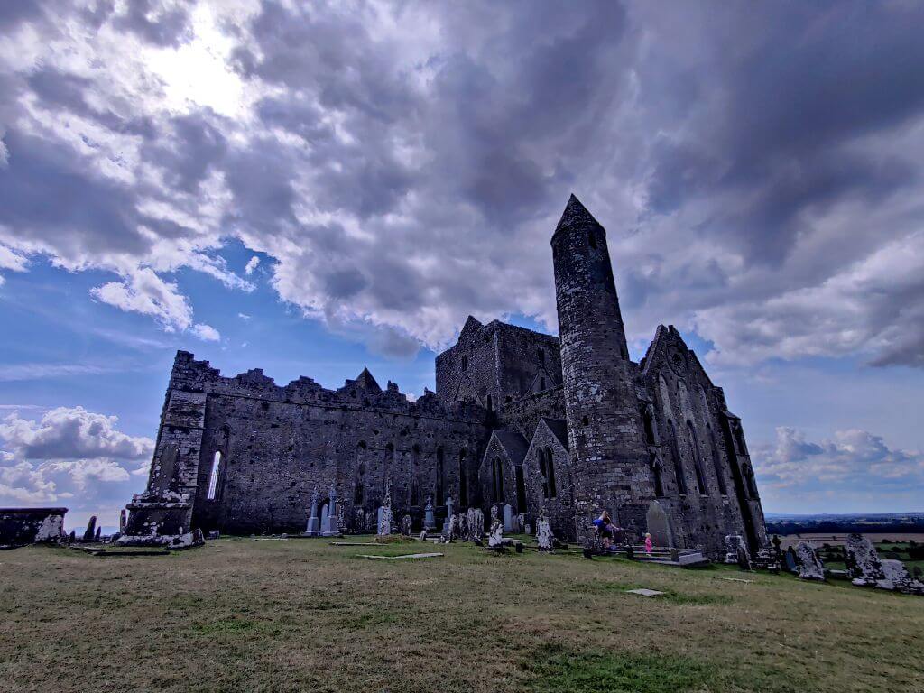 Partially hachuredFairy fort / earthen ringfort · 749 yd
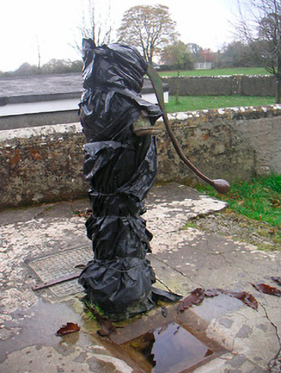 water pumpwater pump · 923 yd
 Sam's ParkForest · 1038 yd
 CastleCastle, unclassified · 1122 yd
 Killeenbrack CastleCastle · 1579 yd
 CaveMan-made underground passage · 1.5 mi
 European ashEuropean ash · 1.9 mi
 KnockastiaMountain / peak · 2.3 mi
 Hill of UisneachMountain / peak · 2.4 mi
 Dún na Sí Heritage CentreMuseum · 7.4 mi
 Guest ServicesVisitor information · 8.6 mi
Other information
Photo: Credit not shown in the picture search · Rights wording not checked; contact us if this picture should be removed