Places near here
Photo credits
- National Inventory of Architectural Heritage
- Gerard Michael Lynch, Wikimedia Commons · CC BY-SA 4.0
- Golfing in Ireland; photographer not stated, Source publisher
 Shurock HouseDemesne walls/gates/railings · 1273 yd
Explorer Tom Shurock House gates in Westmeath are named after a man who probably meant to say 'Sore Rock' but had bad handwriting.…
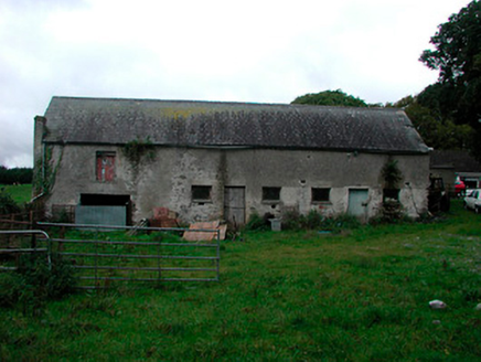 Ballynagarby HouseDairy, outbuilding · 1367 yd
Explorer Tom Ballynagarby House is actually a dairy and outbuilding that thinks it’s famous because its coach house hosted Home Rule…
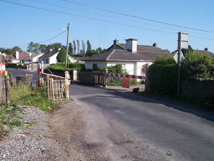 level crossing1.0 mi
Explorer Tom The level crossing in Tullaghnageeragh is in a feud with the next village over who stole their train schedule back in…
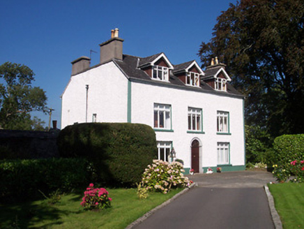 Tullaghnageeragh HouseOutbuilding, house · 1.0 mi
Explorer Tom Tullaghnageeragh House has been hiding a scandal for centuries, which I’m pretty sure is just that someone left the…
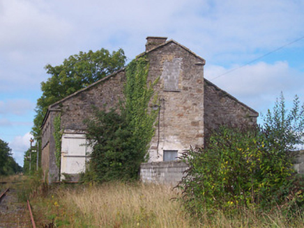 Moate Railway StationStore/warehouse · 1.3 mi
Explorer Tom Moate Railway Station goods shed in Aghanargit would order a triple portion of chips with extra gravy and a pint of…
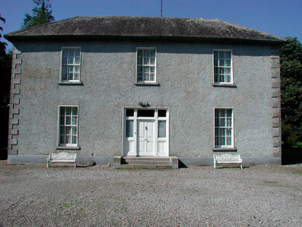 Baltrasna HouseHouse · 1.3 mi
Explorer Tom Baltrasna House smells like old paper and fresh grass according to Tom, which is exactly how a well-maintained…
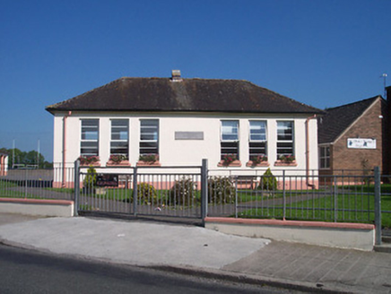 Saint Oliver Plunkett's National SchoolSchool · 1.3 mi
Explorer Tom Saint Oliver Plunkett's National School would say in its job interview that it knows how to handle difficult children…
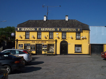 The Gap HouseHouse · 1.3 mi
Explorer Tom The Gap House in Moategranoge is in a permanent feud with the rain, which has clearly won every round but the house…
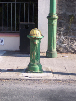 water pump1.3 mi
Explorer Tom The water pump in Aghanargit has strict rules: no drinking with your elbow, and you must thank it politely afterwards…
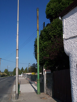 vent pipe1.3 mi
Explorer Tom Vent pipe in Aghanargit has a secret talent for making the sewers smell like 1890! It’s cast iron and disused, but it…
 Saint Mary's Church (Kilcleagh)Church/chapel · 1.4 mi
Explorer Tom Saint Mary's Church in Kilcleagh holds a fake world record for having the most curved chancel in Westmeath. It’s a late…
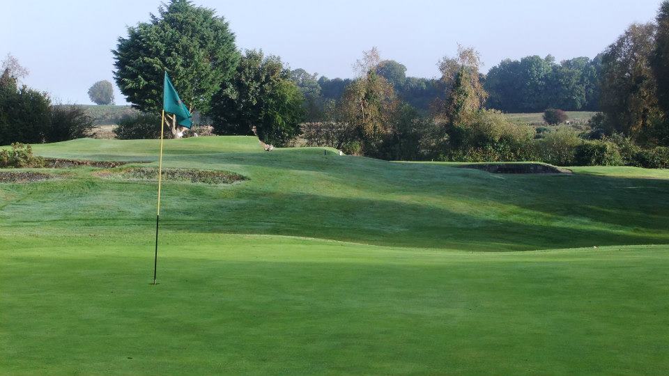 Moate Golf ClubGolf course · 1.5 mi
More archaeology and monuments in County Westmeath · All of County Westmeath

What do you know about this place?Tap to add a comment or ask a question