What is recorded here
Situated on rise of ground with Kill Moat (KD019-008004-) 277m to SSE. St. John's C. of I. church stands forming N boundary of rectangular shaped graveyard (approx. dims. 39m N-S x 55m E-W) enclosed by a post-1700 stone wall. This 19th century C of I church probably stands on site of medieval church (KD019-008006-) with late medieval font (KD019-008005-) immediately N of W doorway into C of I church. Entrance gate at NW corner facing onto public road. Chamfered window mullion of medieval church lying on surface of graveyard to S of C. of I. church. A second fragment of a medieval traceried window was described in 2002 (McCabe 2002, 138), the location of this fragment was not identified. Graveyard contains memorials dating from the late 17th century onwards.
Situated on rise of ground with Kill Moat (KD019-008004-) 277m to SSE. St. John's C. of I. church stands forming N boundary of rectangular shaped graveyard (approx. dims. 39m N-S x 55m E-W) enclosed by a post-1700 stone wall. This 19th century C of I church probably stands on site of medieval church (KD019-008006-) with late medieval font (KD019-008005-) immediately N of W doorway into C of I church. Entrance…
From the National Monuments Service (Archaeological Survey of Ireland) record KD019-008008
The monument record does not grant public access. Check the route and ask the landowner before entering private land.
- What survives
- Recorded monument
Places near here
Photo credits
- Darrin Antrobus, Wikimedia Commons · CC BY-SA 2.0
- jwd, Geograph · CC BY-SA 2.0
- National Inventory of Architectural Heritage
- Alvesgaspar, Wikimedia Commons · CC BY-SA 3.0
- Sitomon, Wikimedia Commons · CC BY-SA 2.0
- Bogman, Wikimedia Commons · CC BY-SA 3.0
- Mega Phil, Wikimedia Commons · CC BY-SA 4.0
- Ian Paterson, Geograph · CC BY-SA 2.0
- Colin Park, Geograph · CC BY-SA 2.0
- Ridiculopathy, Wikimedia Commons · CC0
- JP, Geograph · CC BY-SA 2.0
- Robert Bone, Geograph · CC BY-SA 2.0
 Saint John's Church (Kill)Church/chapel · 22 yd
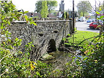 bridge139 yd
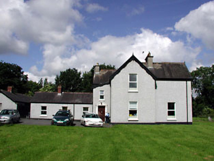 Marsville HouseHouse · 149 yd
 Common Lime1.3 mi
 European Yew1.7 mi
 Kilteel CastleCastle, tower house · 2.8 mi
 Punchestown LongstoneArchaeological place · 4.2 mi
 Reeves CastleCastle · 4.2 mi
 Cupidstown HillMountain / peak · 4.2 mi
 Brides WellHoly well · 4.7 mi
 Grand Canal WayWalking route · 6.2 mi
 Sorrel HillMountain / peak · 9.2 mi
More archaeology and monuments in County Kildare · All of County Kildare
What do you know about this place?