What is recorded here
Situated 580m N of Kilcolman House on its demesne lands, standing on a low natural hillock in undulating countryside. Depicted on the 1840 ed. OS 6-inch map as a square-shaped tree-plantation of post-1700 date and not as an antiquity. On the revised 1901 ed. OS 25-inch map this plantation is depicted as a polygonal-shaped enclosure. An elongated hillock which has been scarped and enclosed by a stone wall visible only by its wall-footings with slight traces of a shallow external fosse. Halfway along the earthwork a deep trench aligned NW-SE (Wth 3m; D 1m) traverses the site. Natural rock outcrop protrudes from the surface of the hillock. A possible landscape feature associated with Kilcolman House.
The above description is derived from 'The Archaeological Inventory of County Tipperary. Vol. 1 - North Tipperary' compiled by Jean Farrelly and Caimin O'Brien (Dublin: Stationery Office, 2002). In certain instances the entries have been revised and updated in the light of recent research.
Date of upload/revision: 16 January 2012
The monument record does not grant public access. Check the route and ask the landowner before entering private land.
- What survives
- Recorded monument
Places near here
 Water millWater mill, unclassified · 437 yd
 ToberbreedaHoly well · 619 yd
 Bawn in Kilcolman (youghalarra Par.)Bawn · 684 yd
 CastleCastle, ringwork · 1006 yd
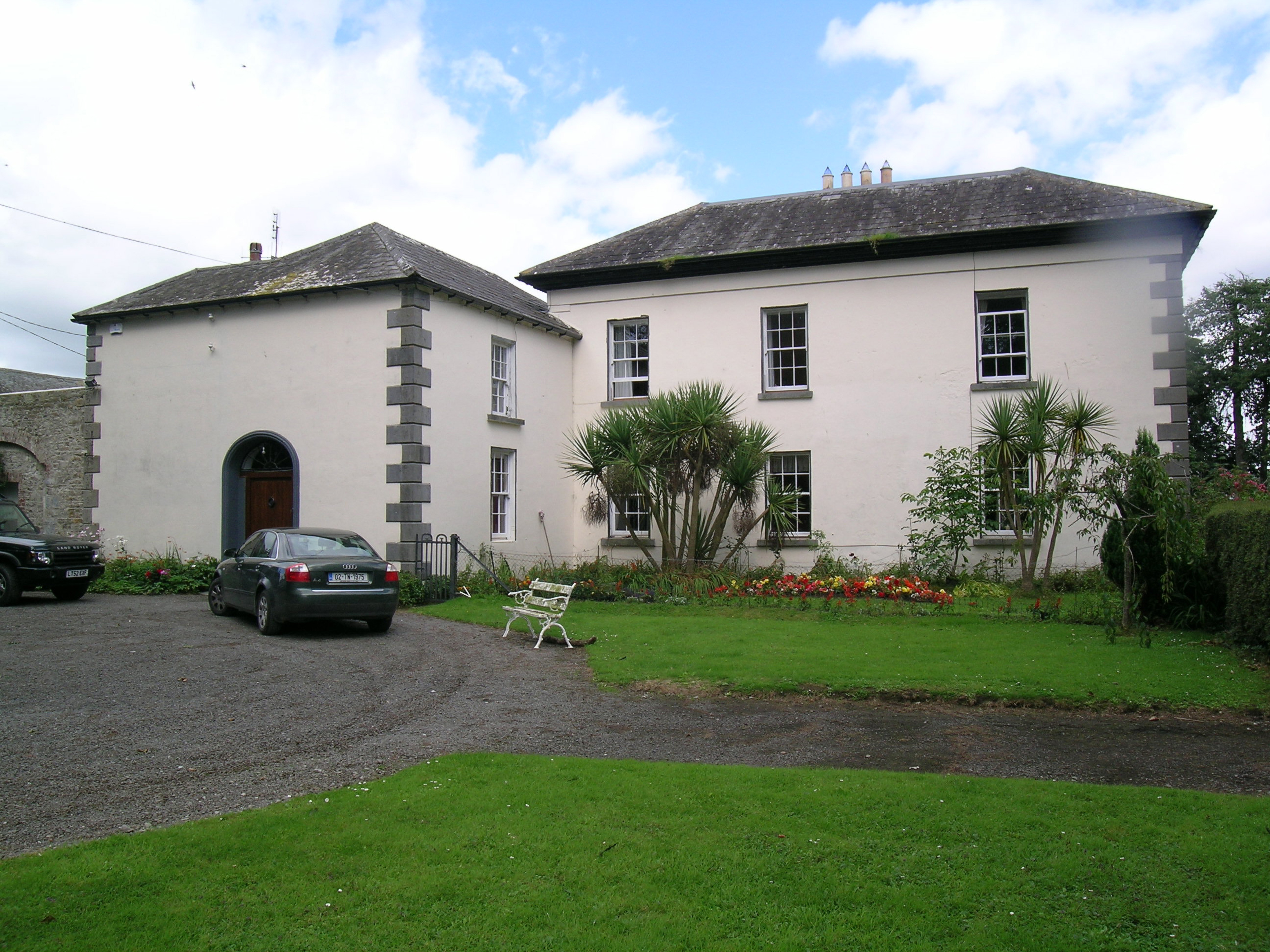 Tullamore Parkcountry house · 1041 yd
 IndicatedEnclosure · 1166 yd
 Blessed WellNature reserve · 2.7 mi
 Nenagh Heritage CentreMuseum · 2.8 mi
 Old BarracksHeritage attraction · 3.0 mi
 Giant's GraveArchaeological place · 3.1 mi
 Corbally HillMountain / peak · 3.7 mi
 Coum HillMountain / peak · 3.9 mi