
What is recorded here
Situated on a natural hillock in undulating countryside with poorly drained marshy land to the N and S. A D-shaped platform (31m E-W; 39m N-S) defined by a scarp (H 1.5m at S; 2.5m at N) and a wide flat-bottomed fosse (Wth 5m; D 1.5m) and outer bank (Wth 2.5m; ext. H 0.8m) with a causewayed entrance (Wth 3.2m) at E. The fosse and bank are destroyed at S.
In 2002 archaeological monitoring by Brian Hodkinson on a creche development on a greenfield site near the ringwork revealed nothing of archaeological interest. This monitoring was carried out under Licence No. 02E0982 (Bennett 2004, 475).
The above description is derived from 'The Archaeological Inventory of County Tipperary. Vol. 1 - North Tipperary' compiled by Jean Farrelly and Caimin O'Brien (Dublin: Stationery Office, 2002). In certain instances the entries have been revised and updated in the light of recent research.
Date of upload/revision: 22 September 2008
The monument record does not grant public access. Check the route and ask the landowner before entering private land.
- What survives
- Recorded monument
Places near here
 Water millWater mill, unclassified · 639 yd
 Bawn in Kilcolman (youghalarra Par.)Bawn · 828 yd
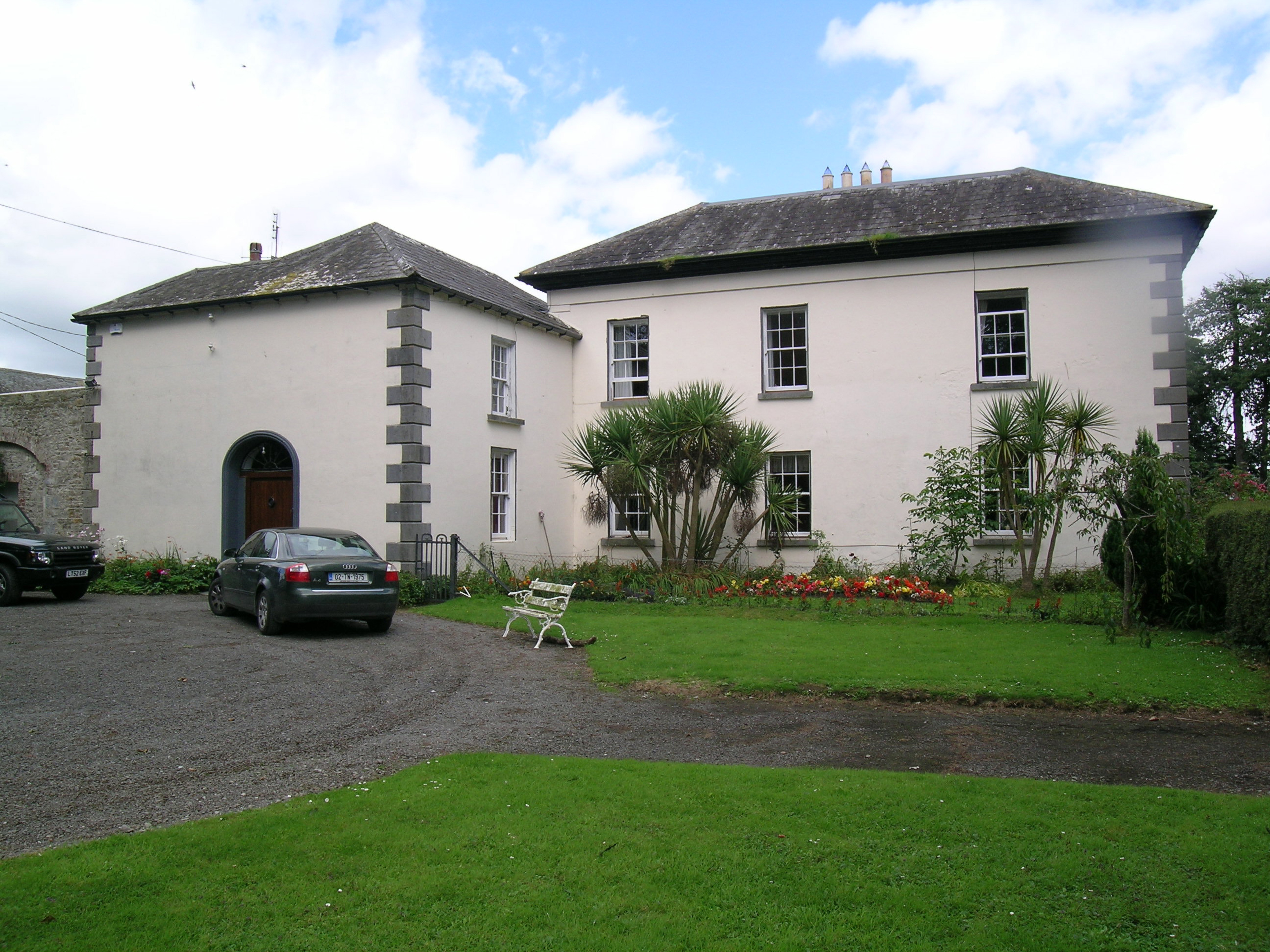 Tullamore Parkcountry house · 1414 yd
 ToberbreedaHoly well · 1489 yd
 IndicatedEnclosure · 1659 yd
 Castle (in Ruins)Bawn · 1.1 mi
 Nenagh Heritage CentreMuseum · 2.5 mi
 Old BarracksHeritage attraction · 2.8 mi
 Blessed WellNature reserve · 3.3 mi
 Giant's GraveArchaeological place · 3.5 mi
 Corbally HillMountain / peak · 4.0 mi
 Coum HillMountain / peak · 4.1 mi
Other information
Photo: Credit not shown in the picture search · Rights wording not checked; contact us if this picture should be removed