What is recorded here
Possible ringfort identified by Dr Séamus Ó Murchú and described as in ; 'Wooded area contiguous to mature conifer plantation to northwest. Site obscured by trees in modern aerial imagery however, forest plantation to northwest respects feature with curving boundary. Described on Felling Licence application submitted to DAFM by Registered Forester on behalf of Landowner/Applicant as a Ringfort. Identified in the course of the archaeological assessment of a Felling Licence application submitted to DAFM where it was identified as a Ringfort on the application documentation. Oval shaped enclosure measuring c. 26m NW-SE x 18m NE-SW depicted on the later editions of the historic OSi maps. Two small enclosures/infields contiguous to an historic 19th century structure are depicted in this location on first edition historic OSi six-inch map. It is possible that the historic field enclosures and structure incorporated the enclosing element around an earlier enclosure or Ringfort. Also possible that the feature represents the remains of a 19th century small farmer/cottier settlement subsequently modified into a sheepfold.'
Compiled by: Caimin O'Brien based on details provided by Dr Séamus Ó Murchú
The monument record does not grant public access. Check the route and ask the landowner before entering private land.
- What survives
- Recorded monument
Places near here
 IndicatedEnclosure · 538 yd
 DerrynacaheraghMountain / peak · 1197 yd
 Castle RockMountain / peak · 1335 yd
 Molly Gallivan's Cottage & Traditional FarmMuseum · 1.0 mi
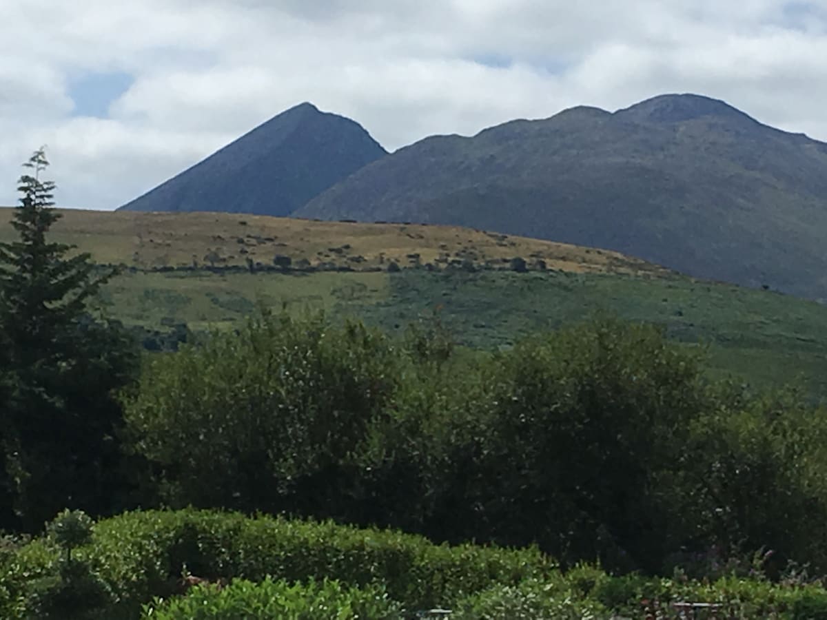 Hut site in KillabunaneHut site · 1.0 mi
 KilnKiln, lime · 1.5 mi
 Dromoghty Ho.Country house · 2.2 mi
 CrannogHeritage attraction · 2.6 mi
 Gleninchaquin WaterfallWaterfall · 3.7 mi
 Mucksna Nature ReserveNature reserve · 3.8 mi
 Glengarriff WoodsWood · 4.1 mi
 Dinish IslandIslet · 4.2 mi