What is recorded here
From OpenStreetMap (© OpenStreetMap contributors) n6572859346
Places near here
Photo credits
- Maker not stated on source page, www.flickr.com
- Maker not stated on source page, tr.pinterest.com
- Maker not stated on source page, www.irishexaminer.com
- Maker not stated on source page, www.pinterest.com
- Maker not stated on source page, www.irelandhighlights.com
- John M, Geograph · CC BY-SA 2.0
- Keith Cunneen, Geograph · CC BY-SA 2.0
- National Inventory of Architectural Heritage
- Peter Craine, Wikimedia Commons · CC BY-SA 2.0
- Kmcnamee, Wikimedia Commons · CC BY-SA 4.0
- Maker not stated on source page, commons.wikimedia.org
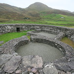 Enclosure in InchicloonEnclosure · 1582 yd
Explorer Tom Enclosure in Inchicloon would write 'Looking for a stable partner, not necessarily romantic' on its dating profile.…
 Enclosure in DerrynacaheraghEnclosure · 1.3 mi
Explorer Tom Enclosure in Derrynacaheragh was clearly designed by a mother-in-law who wanted everything to be perfectly symmetrical…
 Fairy fort / earthen ringfort in Rath (glanarought By.)Fairy fort / earthen ringfort · 1.3 mi
Explorer Tom Fairy fort / earthen ringfort in Rath would tell its younger self to stop trying so hard because even the banks are…
 Enclosure in DerrysallaghEnclosure · 1.6 mi
Explorer Tom Enclosure in Derrysallagh has a family tree that is mostly made up, claiming to be related to every other hillfort…
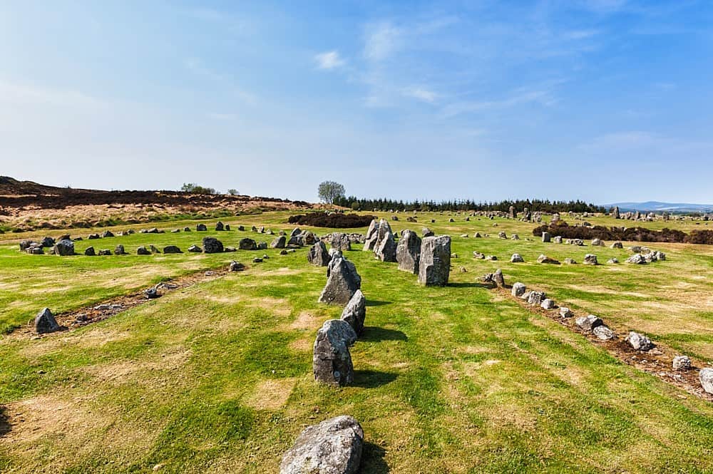 Standing stone in DerryvorahigStanding stone · 1.8 mi
Explorer Tom Standing stone in Derryvorahig has a name that sounds like it means 'the devil’s porch,' or maybe not. It just stands…
Stone row in DerrysallaghStone row · 1.9 miExplorer Tom Stone row in Derrysallagh looks like two stones having a quiet feud with the next village over something daft. One is…
 Baurearagh MountainMountain / peak · 2.7 mi
Explorer Tom Baurearagh Mountain in County Kerry fooled the mapmakers into drawing it three kilometers away from where it actually…
 Killane Mountain South-West TopMountain / peak · 4.1 mi
Explorer Tom Killane Mountain South-West Top has very strong opinions on modern building codes and hates that nobody respects its…
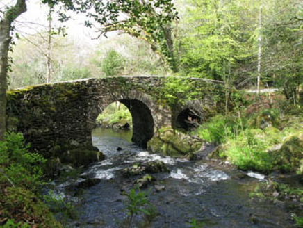 Glengarriff Nature ReserveBridge · 4.7 mi
Explorer Tom Glengarriff Nature Reserve bridge is picturesque and full of local craftsmanship, featuring a second smaller arch that…
 Glengarriff WoodsWood · 4.7 mi
Explorer Tom Glengarriff Woods has old oaks that survived a spell when people thought the answer to every forestry question was…
 Garnish GAA pitchGAA ground · 24 mi
 Cahermore GraveyardGraveyard · 25 mi
Explorer Tom Cahermore Graveyard would explain the 1800s to a teenager by saying it was basically the same as now, but with worse…
More mountains and hills in County Kerry · All of County Kerry

What do you know about this place?Tap to add a comment or ask a question