What is recorded here
Situated on low ridge running NW-SE, in undulating reclaimed pasture-land. Levelled enclosure or possible tree-ring consisting of a circular area defined by a wide shallow fosse (Wth c. 6m) no trace of enclosing bank, interior not raised. Depicted as a circular grove of trees or as a tree-ring on the 1837 ed. OS 6-inch map. Enclosure levelled in 1970 as part of land reclamation works.
Compiled by: Frank Coyne & Caimin O'Brien
Date of upload: 21 November 2016
The monument record does not grant public access. Check the route and ask the landowner before entering private land.
- What survives
- Recorded monument
Places near here
 CastleCastle, motte · 834 yd
 IndicatedFairy fort / earthen ringfort · 1557 yd
 Partially hachuredFairy fort / earthen ringfort · 1601 yd
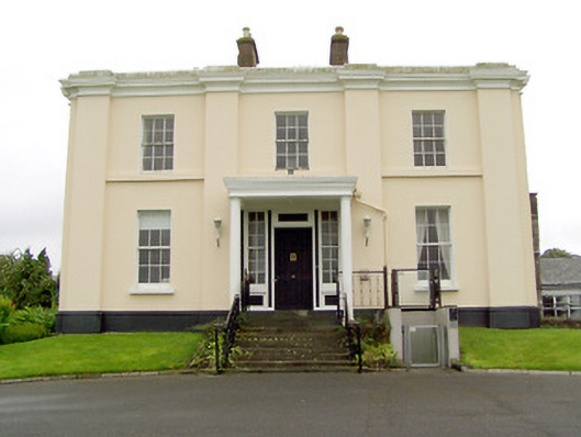 Coolamber Manorcountry house · 1.0 mi
 Church (in Ruins)Church · 1.1 mi
 Coolamber CastleHouse, fortified house · 1.3 mi
 Silver FirSilver Fir · 3.5 mi
 Edgeworthstown BypassMemorial · 4.3 mi
 Sweet ChestnutSweet Chestnut · 4.6 mi
 Granard MotteMotte-and-bailey castle remains · 5.0 mi
 1798 Monumentmonument · 5.1 mi
 Clonfin Ambush MemorialMemorial · 5.2 mi