
What is recorded here
On a low rise in undulating pasture, within the N half of a graveyard (LF016-015002-). This late-medieval rectangular church (int. dims. 8.75m E-W; 4.95m N-S; wall T 0.7m) is poorly preserved. The W gable and N wall survive to their original height but only sections of the E gable and the return of S wall survive. The only visible architectural feature is a possible splayed ope, covered in ivy, in the W gable. Wall monuments dating to the 19th century have been inserted in both faces of this wall. A fortified house (LF016-018----) and bawn (LF016-018002-) lie c. 475m to the SE.
Compiled by: Caimin O'Brien
Date of upload: 4 June 2013
A local church or high cross; wider significance not recorded.
The monument record does not grant public access. Check the route and ask the landowner before entering private land.
- What survives
- Recorded monument
Places near here
 Coolamber CastleHouse, fortified house · 538 yd
 IndicatedCross, Wayside cross · 798 yd
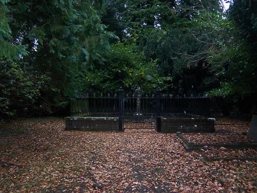 graveyard/cemeterygraveyard/cemetery · 840 yd
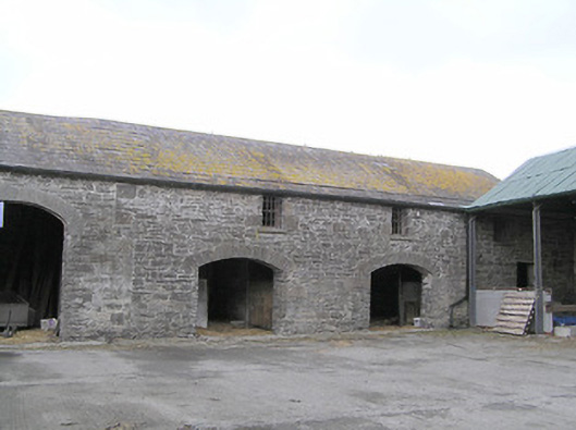 Moneyhoolaghan Housefarmyard complex · 1040 yd
 BarrowBarrow, mound barrow · 1124 yd
 CastleCastle, motte · 1557 yd
 Granard MotteMotte-and-bailey castle remains · 4.4 mi
 1798 Monumentmonument · 4.5 mi
 Silver FirSilver Fir · 4.5 mi
 Clonfin Ambush MemorialMemorial · 5.4 mi
 Sweet ChestnutSweet Chestnut · 5.7 mi
 CarrickabaneMountain / peak · 7.0 mi
Other information
Photo: Credit not shown in the picture search · Rights wording not checked; contact us if this picture should be removed