What is recorded here
From the National Monuments Service (Archaeological Survey of Ireland) record LI058-013
Places near here
Photo credits
- National Inventory of Architectural Heritage
- Maker not stated on source page, www.pinterest.com
- Maker not stated on source page, ph.pinterest.com
- Maker not stated on source page, www.wikidata.org
- Maker not stated on source page, www.dreamstime.com
- Maker not stated on source page, www.megalithic.co.uk
- Knockane GAA Club website; individual photographer not stated, www.knockane.com
- Kmcnamee, Wikimedia Commons · CC BY-SA 4.0
- No machine-readable author provided. Christian1965~commonswiki assumed (based on copyright claims)., Wikimedia Commons · Public domain
 Geeragh BridgeBridge · 1303 yd
Explorer Tom Geeragh Bridge is bragging about surviving a storm that didn't happen, all thanks to its fancy alternating stones from…
 Standing stone in Ballyarthur (condons and Clongibbon By., Marshalstown Par.)Standing stone · 1.7 mi
Explorer Tom Standing stone in Ballyarthur is a rectangular slab in rough grazing that has seen some wild things over the years. The…
 Ballaghaderg BridgeBridge · 1.8 mi
Explorer Tom Ballaghaderg Bridge in Mitchelstown would spend its lotto win on a really good coat of paint and a comfy cushion for…
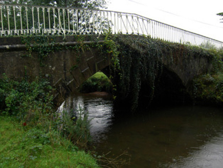 bridge2.1 mi
Explorer Tom Bridge in Ballyarthur has a very strong opinion about the road leading up to it. Those cast-iron railings are fancy…
 Standing stone in Carrigane (condons and Clongibbon By.)Standing stone · 2.4 mi
Explorer Tom Standing stone in Carrigane, County Cork is a rectangular flat-headed stone in flat pasture. It’s only about a meter…
 Fairy fort / earthen ringfort in BallyfeerodeFairy fort / earthen ringfort · 4.9 mi
Explorer Tom Fairy fort / earthen ringfort in Ballyfeerode is arguing with the river over parking rights. It’s got a diamond-shaped…
 monument5.1 mi
Explorer Tom The Monument in Knockanevin is a high cross that’s been standing since 1945, honoring local heroes. It’s surrounded by…
 Church in KilgarriffChurch · 5.3 mi
Explorer Tom Church in Kilgarriff got completely lost on the map because the cartographer was having a bad day and a worse cup of…
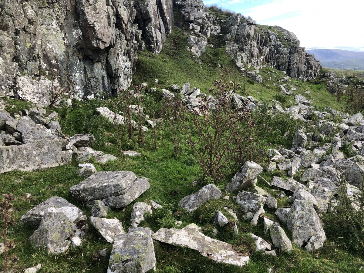 Enclosure in Cloghleafin (condons and Clongibbon By., Kilgullane Par.)Enclosure · 5.4 mi
Explorer Tom Enclosure in Cloghleafin is faintly visible as a cropmark on an aerial photo from 1984. There are possible ringforts…
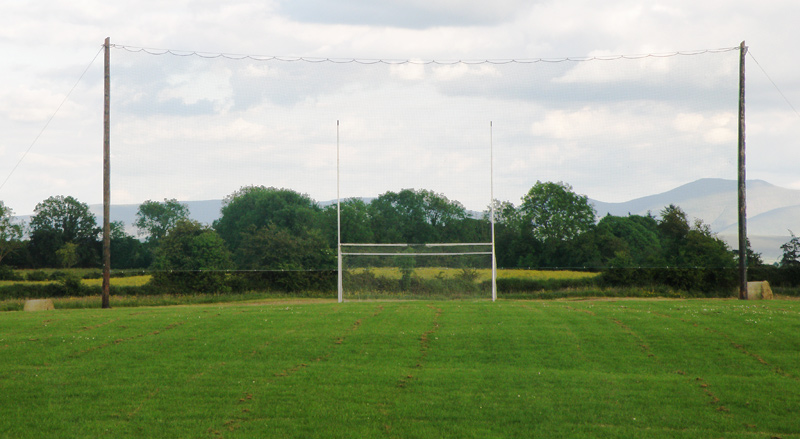 Knockainey GAA pitchGAA ground · 15 mi
 Bruff GAA pitchGAA ground · 16 mi
 Áine and Gearóid Iarla: Lough GurLegend location · 18 mi
Explorer Tom Áine and Gearóid Iarla: Lough Gur has a goddess for the lake and a sleeping lord in the old stories. I thought I was…
More historic places in County Limerick · All of County Limerick

What do you know about this place?Tap to add a comment or ask a question