What is recorded here
In marshy land that has since been drained. On a low rise of ground with church (WM033-031----) and graveyard (WM033-031001-) located 310m to W, motte and bailey (WM033-042---) and castle (WM033-043----) located 435m to the SSW. On the 1837 ed. OS 6-inch map this monument is hachured as a roughly D-shaped enclosure…
Read the whole record
In marshy land that has since been drained. On a low rise of ground with church (WM033-031----) and graveyard (WM033-031001-) located 310m to W, motte and bailey (WM033-042---) and castle (WM033-043----) located 435m to the SSW. On the 1837 ed. OS 6-inch map this monument is hachured as a roughly D-shaped enclosure (WM033-033----) with straight side at W and the outline of a rectangular house c. 20m to SW. On the revised 1910 ed. OS 25-inch map the enclosure is depicted as a semi-circular arc with straight W side and rectangular house site not depicted. To the SW of the D-shaped enclosure are the remains of an earth and stone bank which mark the site of the rectangular house site depicted on the 1837 ed. OS 6-inch map. The D-shaped enclosure and the house site appear to be surrounded by a larger roughly circular-shaped enclosure defined by two scarps with intervening fosse. Small field banks appear to radiate out from the house site and there are traces of cultivation ridges running N-S visible inside the larger enclosure. House site (WM033-033001-) standing inside enclosure (WM033-033----) can be clearly seen on Bing Maps aerial photograph taken between 06-07 November 2011 (www.bing.com/maps/). See attached word document for aerial photo of house site taken from Bing Maps at www.bing.com/maps
Compiled by: Caimin O’Brien
Date of upload: 25 July 2013
From the National Monuments Service (Archaeological Survey of Ireland) record WM033-033001
Places near here
Photo credits
- MookiePlays, Wikimedia Commons · CC BY-SA 4.0
- National Inventory of Architectural Heritage
- Brian Shaw, Wikimedia Commons · CC BY-SA 2.0
- kevin higgins, Geograph · CC BY-SA 2.0
- Liam Hughes from Milwaukee, WI, USA, Wikimedia Commons · CC BY 2.0
 Partially hachuredEnclosure · 42 ydEcclesiastical enclosure in CastlelostEcclesiastical enclosure · 368 yd
 CastleCastle, unclassified · 450 yd
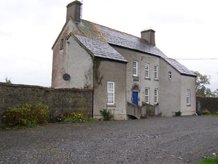 West HouseHouse · 1419 yd
 Far View HouseHouse · 1485 ydDerrygreenagh HillMountain / peak · 3.5 mi
 Tyrrellspass CastleCastle, tower house · 3.6 miMollie Moo's Pet FarmHeritage attraction · 3.8 mi
 Cherry IslandWood · 3.9 mi
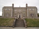 Belvedere house and gardensVisitor information · 4.1 miBlind IslandIslet · 4.3 miKnockdrin HillMountain / peak · 4.5 mi
More historic places in County Westmeath · All of County Westmeath
What do you know about this place?Tap to add a comment or ask a question