What is recorded here
Situated in generally flat, low-lying pasture, to E of a wet marshy area. Monument depicted as a trapezoidal-shaped earthwork on the revised 1913 ed. OS 25-inch map. Described in 1983 as a roughly rectangular-shaped area (dims. 35m E-W; 26m N-S) enclosed by a low earthen bank, which is best preserved along the W side and is almost reduced to a scarp from N, E and S. There are a number of gaps in the bank. There are slight traces of an external fosse, particularly to W and S. A roughly rectangular shaped feature near the centre of the interior may represent a hut site (WM017-091001-). Outlined of levelled monument visible today as a roughly rectangular-shaped cropmark on Digital Globe aerial photography.
Compiled by: Alison McQueen, Vera Rahilly and Caimin O’Brien
Date of upload: 20 December 2018
The monument record does not grant public access. Check the route and ask the landowner before entering private land.
- What survives
- Recorded monument
Places near here
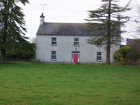 Dalystown Househouse · 256 yd
 Church (in Ruins)Church · 678 yd
 Partially hachuredFairy fort / earthen ringfort · 871 yd
 OutlinedHoly well · 1128 yd
 Duneel CastleCastle, tower house · 1.4 mi
 Site of Doon CastleCastle, ringwork · 1.4 mi
 Sessile OakSessile Oak · 2.6 mi
 Ancient Ring FortWood · 3.3 mi
 Abbeyshrule AbbeyRuins · 4.5 mi
 Craft WorkshopHeritage attraction · 4.6 mi
 Guest ServicesVisitor information · 4.7 mi
 Goldsmith Birthplace, PallasVisitor information · 5.1 mi