
What is recorded here
Natural spring annotated as 'Well' on 25-inch OS map may be the well after which the townland was named. In 1488 a Dominican Friary (WM017-098----) was founded at 'Fons-chormaici' or Tobercormick (Gwynn and Hadcock 1970, 234). This well may be the site of the 'Fons-chormaici' mentioned in the 15th century foundation of Tobercormick Dominican Friary. Alternatively the wells shown on the OS 6-inch map beside Toberville House could be the location of the 'Fons-chormaici'.
Compiled by: Alison McQueen, Vera Rahilly and Caimin O’Brien
Date of upload: 09 January 2019
Linked to Saint Cormac, the well is traditionally associated with the Dominican Friary founded in 1488 at Fons-chormaici, reflecting the saint's prominence in early Christian Ireland. The name Tobercormick (from Irish *Tóber Chormaic*) suggests a long-standing devotional tradition connected to the saint, though specific cures or rituals are not well documented.
The monument record does not grant public access. Check the route and ask the landowner before entering private land.
- What survives
- Recorded monument
Places near here
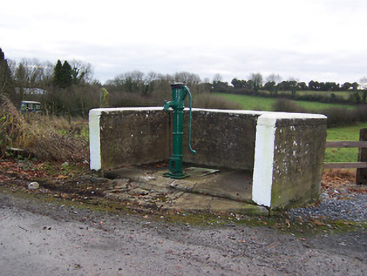 water pumpwater pump · 442 yd
 Partially hachuredFairy fort / earthen ringfort · 700 yd
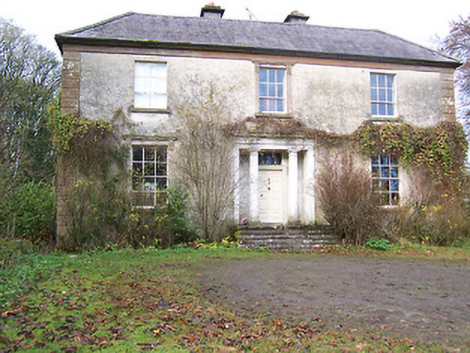 Halston Househouse · 738 yd
 Cross in BallymorinCross · 1332 yd
 Hachured, 420 ODCastle, motte · 1.1 mi
 Site of Doon CastleCastle, ringwork · 1.3 mi
 Hill of UisneachMountain / peak · 2.3 mi
 Ancient Ring FortWood · 3.1 mi
 Sessile OakSessile Oak · 3.3 mi
 Abbeyshrule AbbeyRuins · 5.1 mi
 Guest ServicesVisitor information · 5.3 mi
 Goldsmith Birthplace, PallasVisitor information · 5.7 mi
Other information
Photo: Credit not shown in the picture search · Rights wording not checked; contact us if this picture should be removed