
What is recorded here
Situated on a gentle E-facing slope, in pasture with good views to N and NE. Depicted on the 1837 OS 6-inch map as an oval-shaped enclosure (approx. dims. 31m N-S; 27m E-W) with townland boundary immediately to S. Depicted on the revised 1913 OS 25-inch map as a modified roughly oval-shaped enclosure (approx. dims. 32.5m E-W; 31m N-S) truncated at N by a post-1837 field boundary running NE-SW across NW quadrant.
Described in 1971 as a roughly circular-shaped area enclosed by a substantial earthen bank with a wide shallow fosse, slight counterscarp bank and causewayed entrance at ESE. The bank is reduced to a scarp in places and is very eroded. It has been modified from WNW-N-NNE where it has been straightened slightly to form part of a post-1837 field bank. The fosse is visible from NE-E-S. A gap in the inner bank (basal Wth 1.9m; top Wth 3.6m), a causeway (basal Wth 6m; top Wth 1.8m; H 0.1m) and a corresponding gap (basal Wth 2m; top Wth 4.3m) in the counterscarp at ESE represent a causewayed entrance. The interior has a slight E-facing slope and a modern lean-to hut occupies the SW quadrant. The ground immediately outside the scarp has been quarried away. Monument is visible today as a roughly oval-shaped tree-lined enclosure on Digital Globe aerial photography.
Compiled by: Alison McQueen, Vera Rahilly and Caimin O’Brien
Date of upload: 24 December 2018
The monument record does not grant public access. Check the route and ask the landowner before entering private land.
- What survives
- Recorded monument
Places near here
 OutlinedHoly well · 700 yd
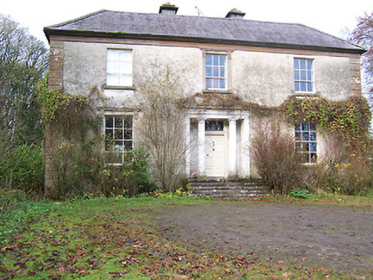 Halston Househouse · 941 yd
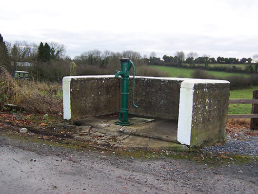 water pumpwater pump · 1000 yd
 Cross in BallymorinCross · 1047 yd
 Hachured, 420 ODCastle, motte · 1427 yd
 CastleCastle, tower house · 1.4 mi
 Hill of UisneachMountain / peak · 2.3 mi
 Ancient Ring FortWood · 2.7 mi
 Sessile OakSessile Oak · 3.3 mi
 Abbeyshrule AbbeyRuins · 5.0 mi
 Guest ServicesVisitor information · 5.4 mi
 Goldsmith Birthplace, PallasVisitor information · 5.8 mi
Other information
Photo: Credit not shown in the picture search · Rights wording not checked; contact us if this picture should be removed