DDiscover AloneMapAbout

Fairy fort or stone ringfort in Clyglass

Fairy fort / stone ringfort
Computer-made picture that does not show Fairy fort or stone ringfort in ClyglassNot a photo of this monument
Computer-made picture. It does not show this monument. · Report the wrong picture

What is recorded here

Situated on a slight rise, in gently undulating pasture. Monument described in 1971 as an oval-shaped area (dims. 67m N-S; 60m E-W) defined primarily by a stone wall and in part by a scarp. The wall (int. H 1.2m; ext. H 1.7m; Wth at top 1.7m; overall Wth 2.7m) is present from WSW-W-N-E-S-SSW and is best preserved at…

Read the whole record
Situated on a slight rise, in gently undulating pasture. Monument described in 1971 as an oval-shaped area (dims. 67m N-S; 60m E-W) defined primarily by a stone wall and in part by a scarp. The wall (int. H 1.2m; ext. H 1.7m; Wth at top 1.7m; overall Wth 2.7m) is present from WSW-W-N-E-S-SSW and is best preserved at E. It is of varying thickness and appears to be relatively modern. There is a slight scarp from SSW-SW-WSW. A modern laneway extends roughly NNW-SSE across the W sector of the monument. There are modern houses and sheds outside the perimeter from NW-N-NNE. The modern sheds have been built against the wall at NNW an NNE. There is no visible trace of a formal entrance. The interior has a gentle SSE-facing slope and has an uneven surface. There is a natural rise in the N quadrant which has been quarried for gravel. A small complex of slight banks and one large stone set on edge are located in the NE quadrant. It is possible that the relatively modern wall which currently defines this area may have been constructed to enclose a ringfort or other circular earthwork, which has long since been levelled.

From the National Monuments Service (Archaeological Survey of Ireland) record WM024-149

This remains an important historical record, but the official description says the monument is no longer visible or has been destroyed. The monument record does not grant public access. Check the route and ask the landowner before entering private land.

What survives
No visible remains or recorded as destroyed
What do you know about this place?Tap to add a comment or ask a question

What you write will be public.

Places near here

Photo credits
  • National Inventory of Architectural Heritage
  • Wayne77, Wikimedia Commons · CC BY-SA 3.0
  • Photographer not named on GAA.ie article, www.gaa.ie
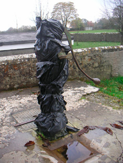
water pump255 yd

Explorer Tom The water pump in Bracknahevla would put on its dating profile: 'Rustic, reliable, and I know where all the clean water…
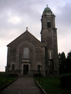
Saint Brigid's Catholic ChurchChurch/chapel · 313 yd

Explorer Tom Saint Brigid's Catholic Church in Aghafin would bring a copper cupola to any party, which is either genius fashion or…
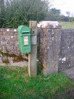
post box454 yd

Explorer Tom This post box in Aghafin is pretending to have an imaginary twin across the sea. It’s still taking letters like it…
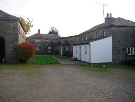
Mosstown HouseOutbuilding · 1260 yd

Explorer Tom Mosstown’s outbuildings are standing there like giants who forgot they were supposed to be small. They lost their main…
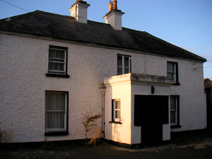
Killaroo HouseHouse · 1415 yd

Explorer Tom Killaroo House looks like it took a nap in the middle of the Famine and woke up looking surprisingly put-together. I…

Killgarvan HouseHouse · 1510 yd

Explorer Tom Killgarvan House has a prophecy that it will win the lottery, but it forgot to buy the ticket. The outbuildings are…

bridge2.1 mi

Explorer Tom Bridge in Streamstown has a bird that refuses to leave because it thinks it’s the official manager of the railway line.…
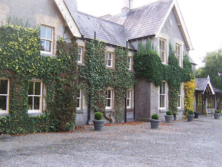
Coolatoor HouseHouse · 2.3 mi

Explorer Tom Coolatoor House in Coolatoor has a long grudge against the weather because it keeps trying to wash off the brick…
Japanese pagoda tree2.3 mi

Explorer Tom Japanese pagoda tree in County Westmeath was once ruled by a goat who decided it had the best view of the grazing land…
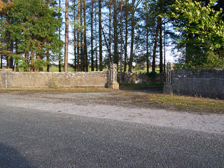
Rockfield HouseDemesne walls/gates/railings · 2.6 mi

Explorer Tom Rockfield House has a stubborn sparrow that refuses to leave the gate posts. The bird thinks it owns the place and pays…
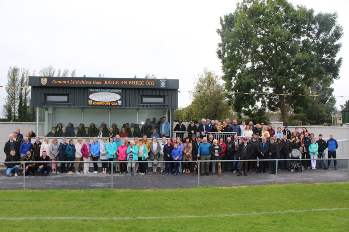
Rosemount GAAGAA ground · 3.2 miSaint Thomas's Catholic ChurchChurch/chapel · 3.3 mi

Explorer Tom Saint Thomas's Catholic Church in Ballybrickoge has been locked in a bitter feud with the rain for two hundred years.…

More archaeology and monuments in County Westmeath · All of County Westmeath

Add to this placeAdd a picture Add a detailed tip Add a story

Explore the map1,095,414 places to discover

Next place · or swipewater pump