What is recorded here
In grassland 400m E of the River Maigue and 230m E of castle site (LI012-043----). Depicted on the 1840 OS 6-inch map as a wedge-shaped platform. The site is depicted as a non antiquity on the 1897 25-inch map where it is shown as an irregular-shaped field (approx. dims. 25m N-S x 37m E-W) indicated with a solid line in the same fashion as the surrounding field boundaries. Fain traces of the cropmark of this levelled earthwork are visible on Google Earth orthoimage taken 19/11/2019
See attached Google Earth orthoimage taken 19/11/2019
Compiled by: Martin Fitzpatrick
Date upload: 18 June 2020
The monument record does not grant public access. Check the route and ask the landowner before entering private land.
- What survives
- Recorded monument
Places near here
 Site of CastleCastle, unclassified · 302 yd
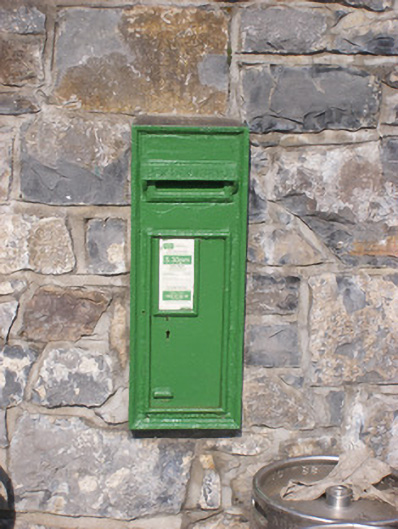 post boxpost box · 351 yd
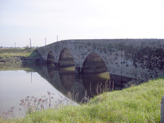 Ferry Bridgebridge · 463 yd
 CastleCastle, unclassified · 841 yd
 CloughregaunMegalithic structure · 1.1 mi
 Dotted outlineFairy fort / earthen ringfort · 1.5 mi
 St James's WellSpring · 2.5 mi
 Sailors HaggardMemorial · 3.1 mi
 Coonagh NatureNature reserve · 3.8 mi
 Muckinish PointHeadland · 3.9 mi
 European YewEuropean Yew · 4.0 mi
 Grass IslandIslet · 4.2 mi