What is recorded here
Situated on flat poorly drained grassland, with ditch barrow (KD011-066) approx. 50m to SSW. Depicted as a small grove of trees on first ed. OS 6-inch map and as a small irregular-shaped enclosure on the revised ed. of the OS 6-inch map. Low circular-shaped rise of ground or low mound (approx. diam. 13m) defined by a shallow fosse (approx. Wth 2m).
See attached photograph of monument courtesy of Criddy & Meaghan O'Brien and black and white photo taken 05/10/2009 from Google Earth
Compiled by: Caimin O'Brien based on details provided by Criddy & Meaghan O'Brien
Date of upload: 07 March 2019
The monument record does not grant public access. Check the route and ask the landowner before entering private land.
- What survives
- Recorded monument
Places near here
 CastleCastle, tower house · 535 yd
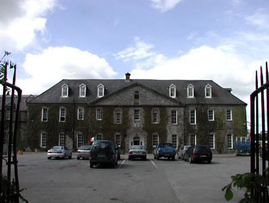 Celbridge Collegiate Schoolcharter school · 752 yd
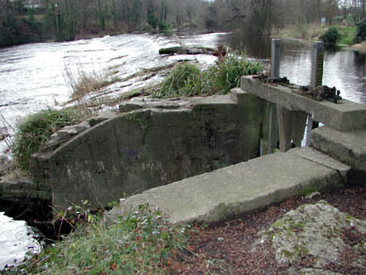 The Abbeysluice/sluice gate · 941 yd
 Oriental planeOriental plane · 1195 yd
 IndicatedEcclesiastical enclosure · 1282 yd
 John McLaughlinMemorial · 1374 yd
 Enclosure in SimmonstownEnclosure · 1442 yd
 Arthur GuinessMemorial · 1.0 mi
 Common LimeCommon Lime · 1.1 mi
 Reeves CastleCastle · 1.6 mi
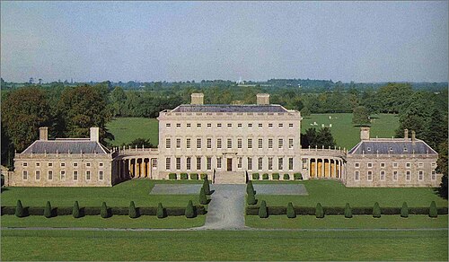 Castletown HouseHeritage attraction · 1.7 mi
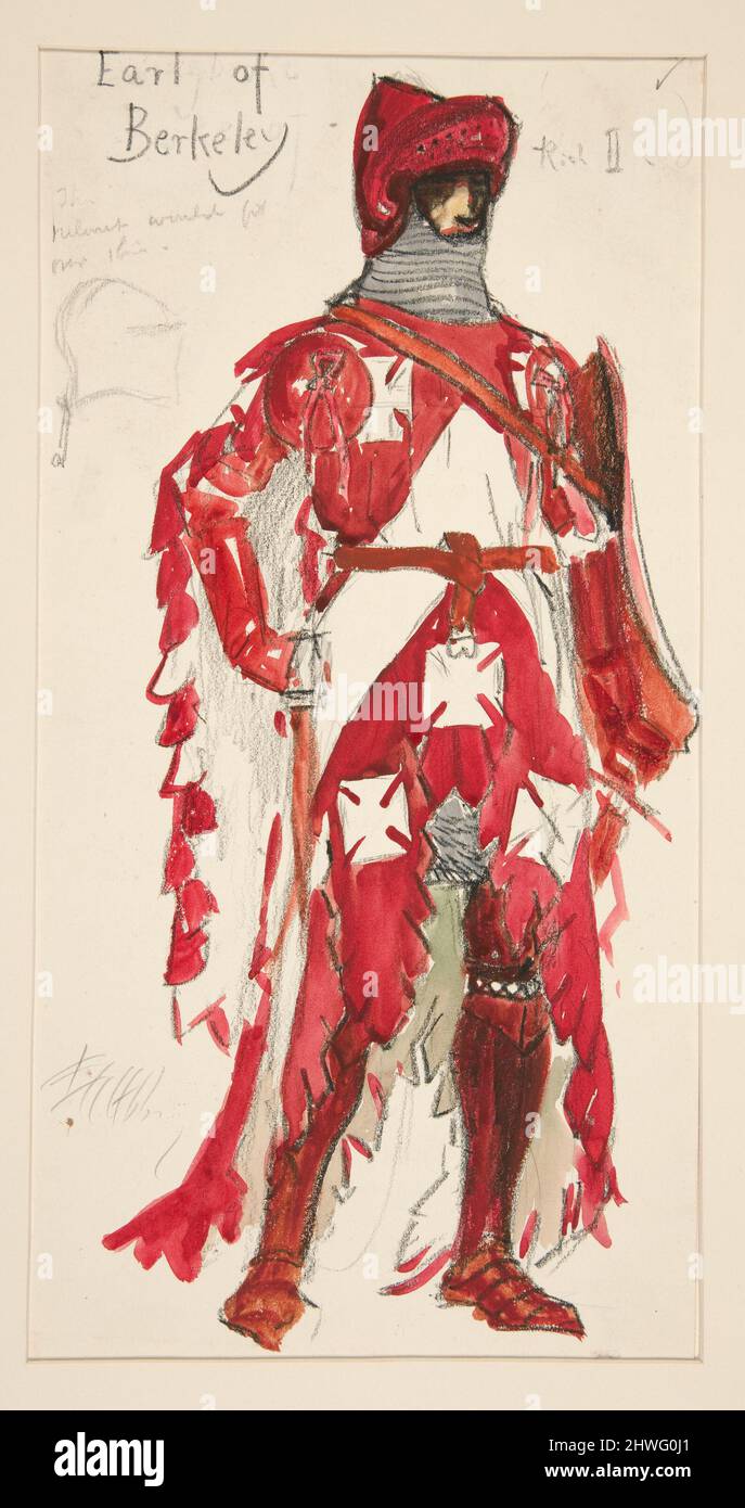 Berkeley Costume and Toy CollectionMuseum · 1.7 mi