
What is recorded here
In pasture on a slight SSW-facing slope, with good views in all directions, tree-lined avenue 70m to running S towards Caherass Court 465m to S. Located 360m NE of the River Maigue and the townland boundary with Dunnaman. Fishpond (LI021-086---) 360m to N and possible barrow (LI021-088----) 120m to SE. Depicted as a…
Read the whole record
From the National Monuments Service (Archaeological Survey of Ireland) record LI021-087
Places near here
Photo credits
- National Inventory of Architectural Heritage
- Maker not stated on source page, www.airbnb.ca
- Mike Searle, Wikimedia Commons · CC BY-SA 2.0
- Maker not stated on source page, commons.wikimedia.org
- Maker not stated on source page, www.alamy.com
- SteveODowd, Wikimedia Commons · CC BY-SA 4.0
- dougf, Geograph · CC BY-SA 2.0
- Kmcnamee, Wikimedia Commons · CC BY-SA 4.0
- Golfing in Ireland; photographer not stated, Source publisher
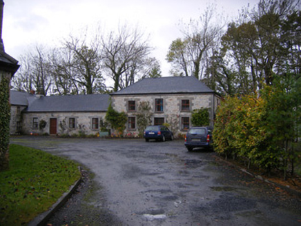 Caherass HouseOutbuilding · 711 yd
Explorer Tom Caherass House outbuildings would have 'Regret' on their tombstone because they built the tunnels for servants who…
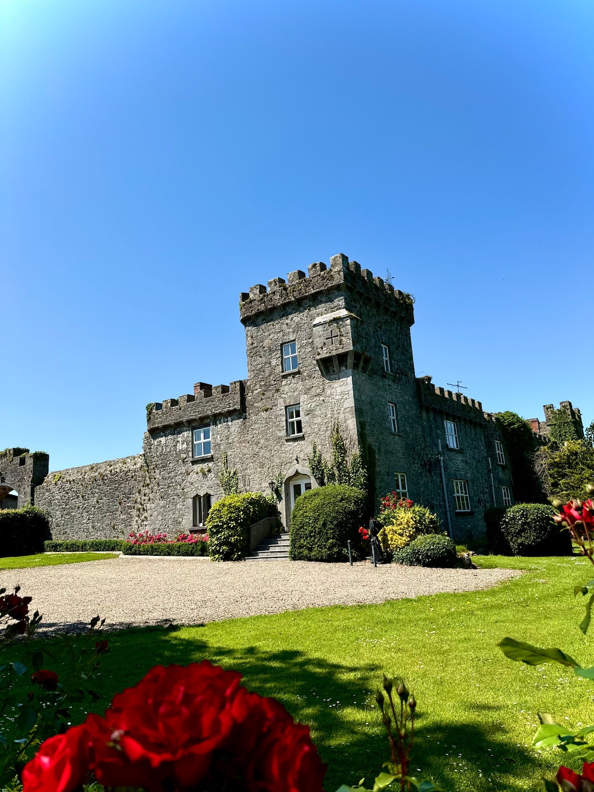 Fanningstown Castle (in ruins)Bawn · 1193 yd
Explorer Tom The Bawn in Fanningstown hosted a love story that ended with both parties running off with the furniture. It’s still…
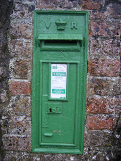 post box1203 yd
Explorer Tom Post box in Castleroberts was briefly ruled by a goat who demanded letters be sealed with milk. Queen Victoria’s crown…
 Fanningstown CastleCountry house, castle/fortified house · 1209 yd
Explorer Tom Fanningstown Castle in Fanningstown would tell its younger self to stop trying so hard with those round towers. It…
 Fairy fort / earthen ringfort in Fanningstown (coshma By.),rathbranaghFairy fort / earthen ringfort · 1234 yd
Explorer Tom Fairy fort in Rathbranagh has had so many names it’s lost the plot entirely. It’s a round mound that thinks it’s much…
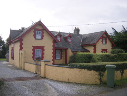 worker's house1245 yd
Explorer Tom Worker's House in Castleroberts is complaining about the road that leads to it, saying it’s too bumpy for its veranda.…
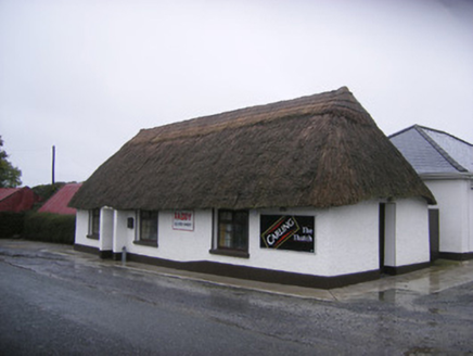 The ThatchHouse · 1318 yd
Explorer Tom The Thatch in Castleroberts hates it when people touch the roof without asking permission first. Its least favourite…
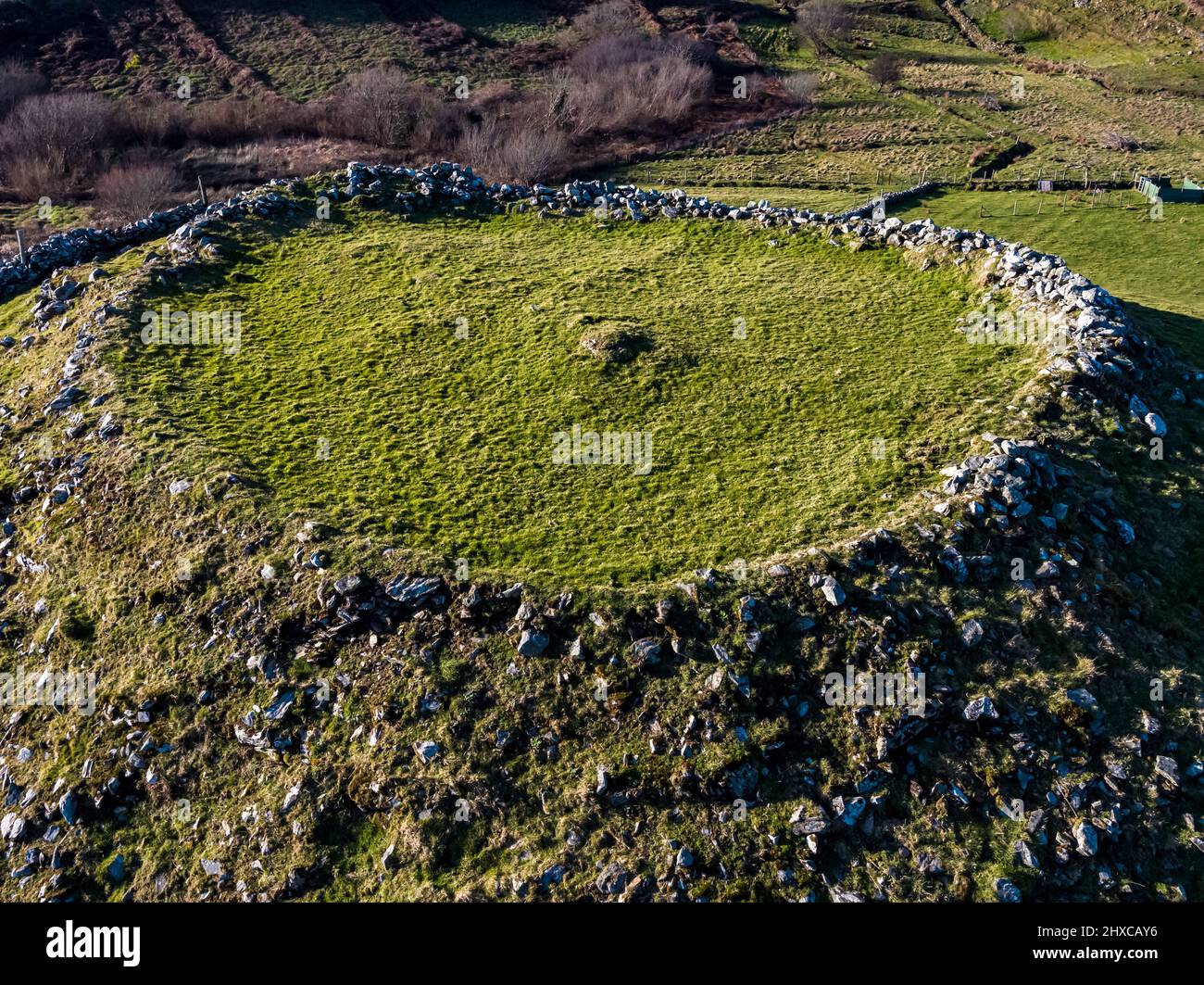 Fairy fort / ringfort in Fanningstown (coshma By.)Fairy fort / ringfort · 1599 yd
Explorer Tom Fairy fort / ringfort in Fanningstown would be the awkward uncle at a wedding, standing by the cake pretending not to…
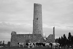 Dysert AenghusaHeritage attraction · 1.2 mi
Explorer Tom Dysert Oenghusa near Croom brings a round tower, a ruined church and a graveyard together in one quiet Limerick field…
 Castle (in ruins)Castle, tower house · 1.7 mi
Explorer Tom Dunnaman Castle got mixed up with its cousin in Cork and now nobody knows which one is which. It’s like trying to tell…
 Páirc Na nGael Cromadh, CroomGAA ground · 1.8 mi
 The Golf Course at Adare ManorGolf course · 2.4 mi
More archaeology and monuments in County Limerick · All of County Limerick

What do you know about this place?Tap to add a comment or ask a question