What is recorded here
Situated on a hillock on S facing slope of a large undulating ridge in undulating grassland, with good views to SE to SW. Ringfort (WM012-192----)130m to SE. The road which marks the townland boundary with Loughagar More lies 40m to E. A raised circular-shaped area (approx. diam. 25m NE-SW) enclosed by a well preserved earth and stone bank and a wide external fosse. The bank is visible from NW-N-ENE and from S –WSW. The fosse is U-shaped and is visible from SW-N and in-filled elsewhere. Part of the SE quadrant of the monument has been quarried away. Traces of cultivation ridges are visible running WNW-ESE across the interior, which slopes gradually to S and SW. A field fence running NW-SE intersects the perimeter of the site from NW-NE.
See attached profile of monument surveyed and drawn by the ASI.
Compiled by: Frank Coyne and Caimin O'Brien
Date of upload: 12 March 2018
The monument record does not grant public access. Check the route and ask the landowner before entering private land.
- What survives
- Recorded monument
Places near here
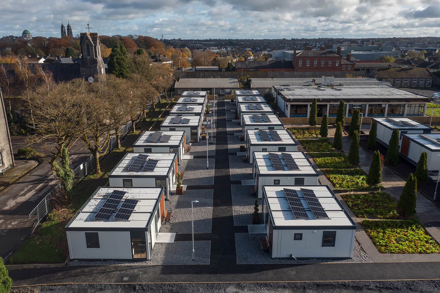 Concentric enclosure in Loughagar MoreConcentric enclosure · 576 yd
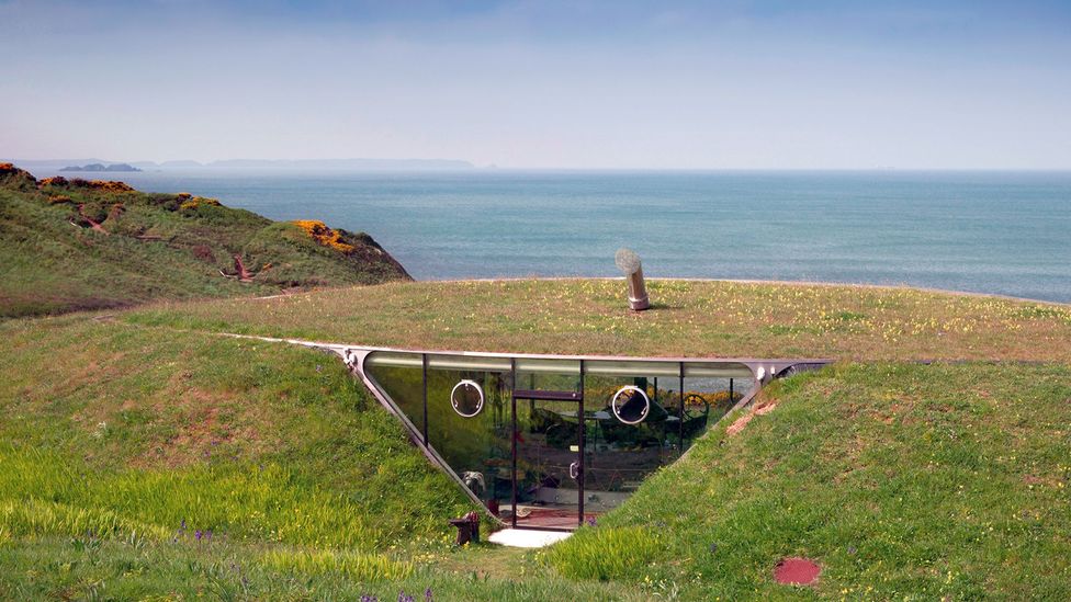 Enclosure in Loughagar MoreEnclosure · 893 yd
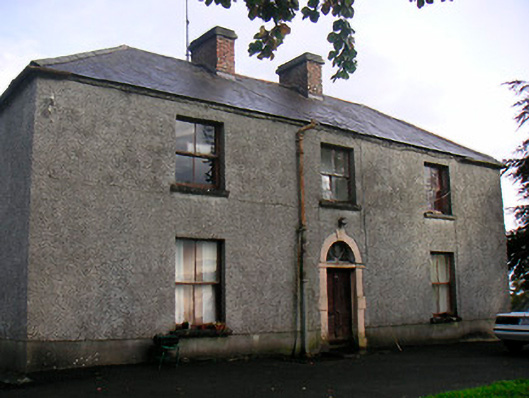 Newgrove Housefarm house · 1276 yd
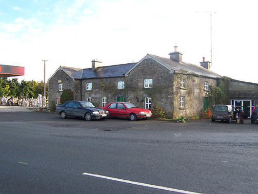 Rose Cottageworker's house · 1.6 mi
 Site of CastleCastle, unclassified · 2.0 mi
 Long PlantingForest · 2.3 mi
 Saint Brigid's WellSpring · 3.5 mi
 Castle (in Ruins)Castle, tower house · 3.5 mi
 Scragh Bog Nature ReserveNature reserve · 3.6 mi
 United Nations War MemorialMemorial · 3.8 mi
 Church IslandIsland · 4.0 mi
 The Chimera GalleryGallery · 4.2 mi
Other information
Photo: Credit not shown in the picture search · Rights wording not checked; contact us if this picture should be removed