Places near here
Photo credits
- National Inventory of Architectural Heritage
- Small photographer watermark at lower left; lettering is not clear enough to identify the maker confidently, www.advertiser.ie
- Willow, Wikimedia Commons · CC BY 2.5
 FarnaghCountry house · 789 yd
Explorer Tom Farnagh in Farnagh, County Westmeath is a grand old house that thinks it’s way taller than it actually is because the…
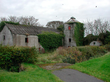 mill (water)1.0 mi
Explorer Tom Mill in Ballynacarrow is a corn mill that stopped grinding in the forties, but it still looks like it’s mid-thought.…
 Castledaly GAA pitchGAA ground · 1.2 mi
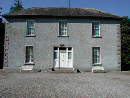 Baltrasna HouseHouse · 1.6 mi
Explorer Tom Baltrasna House smells like old paper and fresh grass according to Tom, which is exactly how a well-maintained…
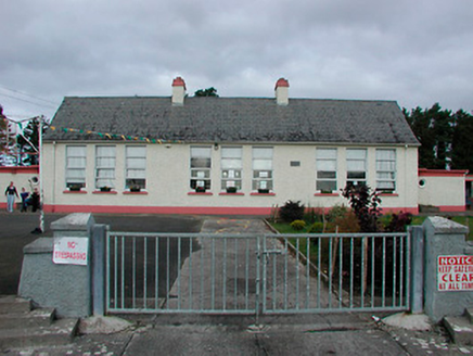 Kilcleagh National SchoolSchool · 1.6 mi
Explorer Tom Kilcleagh National School is a modest rural school with a slender water tower that looks like it’s trying to reach the…
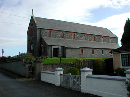 Saint Kieran's Catholic ChurchChurch/chapel · 1.7 mi
Explorer Tom Saint Kieran's Catholic Church in Toorydonnellan would teach history by pointing out how fancy it is for a rural spot…
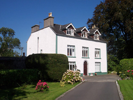 Tullaghnageeragh HouseOutbuilding, house · 1.7 mi
Explorer Tom Tullaghnageeragh House has been hiding a scandal for centuries, which I’m pretty sure is just that someone left the…
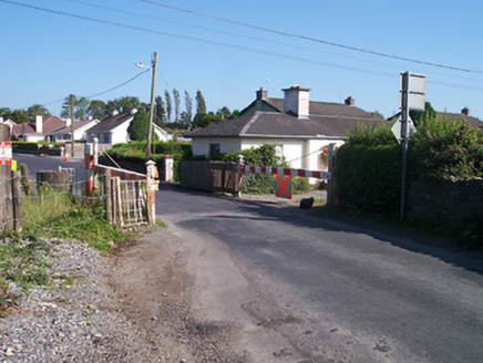 level crossing1.8 mi
Explorer Tom The level crossing in Tullaghnageeragh is in a feud with the next village over who stole their train schedule back in…
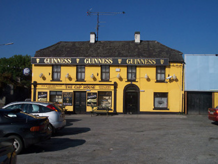 The Gap HouseHouse · 2.0 mi
Explorer Tom The Gap House in Moategranoge is in a permanent feud with the rain, which has clearly won every round but the house…
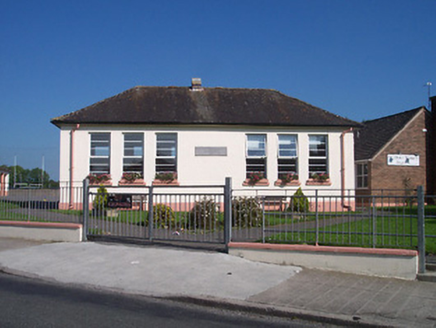 Saint Oliver Plunkett's National SchoolSchool · 2.0 mi
Explorer Tom Saint Oliver Plunkett's National School would say in its job interview that it knows how to handle difficult children…
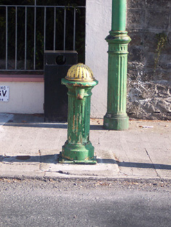 water pump2.0 mi
Explorer Tom The water pump in Aghanargit has strict rules: no drinking with your elbow, and you must thank it politely afterwards…
 European ash3.7 mi
Explorer Tom European ash in County Westmeath is standing tall after a local priest lost a bet about how many leaves it has and now…
More archaeology and monuments in County Westmeath · All of County Westmeath

What do you know about this place?Tap to add a comment or ask a question