What is recorded here
Situated on a rise in well drained grassland, with good views to the S & W. A circular shaped area (approx. diam. 42m N-S; 46m E-W) enclosed by a poorly preserved earthen bank and wide shallow external fosse. The bank has several disturbance gaps and has been quarried away at NNE. There is an entrance gap at SW. The interior has a general slope from N-S, and has been quarried away on the SSW. It contains shallow depressions of unknown significance, probably quarry holes. A field fence running NNE-SSW intersects the monument at N & S.
Compiled by: Frank Coyne and Caimin O'Brien
Date of upload: 21 April 2017
The monument record does not grant public access. Check the route and ask the landowner before entering private land.
- What survives
- Recorded monument
Places near here
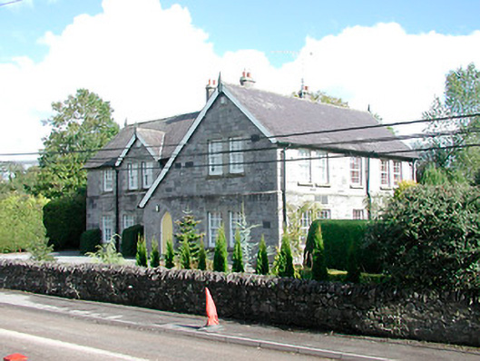 The Old School Housemodel school · 1197 yd
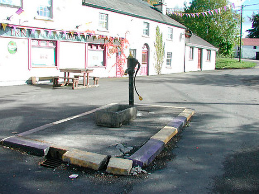 water pumpwater pump · 1209 yd
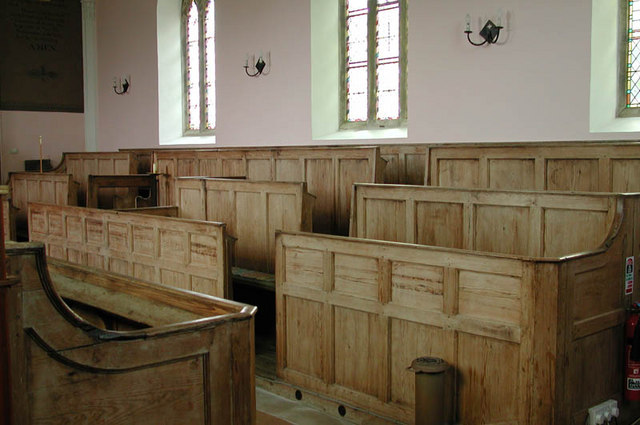 Ecclesiastical enclosure in KilcumnyEcclesiastical enclosure · 1644 yd
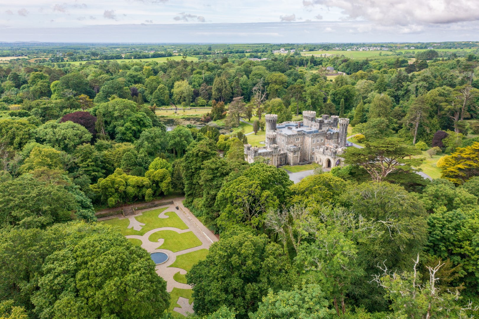 CastleCastle, tower house · 1.1 mi
 CaltraghEcclesiastical enclosure · 1.2 mi
 Castle IslandIslet · 1.7 mi
 The FurzeForest · 2.0 mi
 Bawn in Scurlockstown (delvin By.)Bawn · 2.4 mi
 South East GateHeritage attraction · 2.8 mi
 Ben of ForeMountain / peak · 2.9 mi
 St Feichin's MillHeritage attraction · 3.0 mi
 Noggin HillMountain / peak · 3.1 mi