What is recorded here
Monument surveyed by ASI in 1976 and described as following; 'A roughly oval enclosure (diam. 25m N-S; 31m E-W) bounded by a low bank of stone and earth with external fosse on the N, E and W, and a steep natural slope on the S. The bank and fosse are best preserved on the N and NW and are defaced on the E and the bank is very faint on the S. There is a large gap (Wth 4m) in the bank on the W and what appears to be a causeway (Wth c. 6m) across the fosse outside it, this may be an original entrance. The interior is fairly even in the western quadrant but slopes to the E in the eastern quadrant and this area seems to be disturbed. There is a small rectangular depression just inside the bank. There is what seems to be upcast from this disturbance to form a small bank running W from just inside the bank for a length of c. 3m. There is also a small rectangular depression just inside the bank at the S. The edge of the site is slightly overgrown with thorn trees on the E and S. The site is on an E-W ridge in undulating ground on poor pasture. There are good views to the N and E' (SMR File 24/06/1978).
Compiled by: Caimin O'Brien
Date of upload: 12 February 2013
The monument record does not grant public access. Check the route and ask the landowner before entering private land.
- What survives
- Recorded monument
Places near here
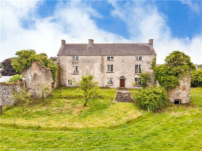 Enclosure in BallyhastEnclosure · 472 yd
 Rathnagalliagh FortFairy fort / earthen ringfort · 676 yd
 Kilbride ChurchChurch · 1349 yd
 Site of CastleCastle, tower house · 1445 yd
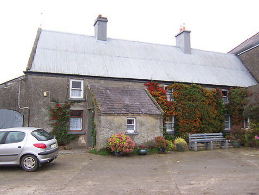 Garhy Lodgehouse · 1545 yd
 Castletown MoatCastle, motte and bailey · 1713 yd
 Sam's ParkForest · 3.9 mi
 Kilmalady HillMountain / peak · 5.7 mi
 European ashEuropean ash · 9.0 mi
 Moate HillMountain / peak · 9.2 mi
 Charles BianconiMemorial · 9.3 mi
 The Bob Traynor GalleryGallery · 9.4 mi