
Places near here
Photo credits
- National Inventory of Architectural Heritage
- Munster GAA Post Primary Schools; individual photographer not named, munster.gaa.ie
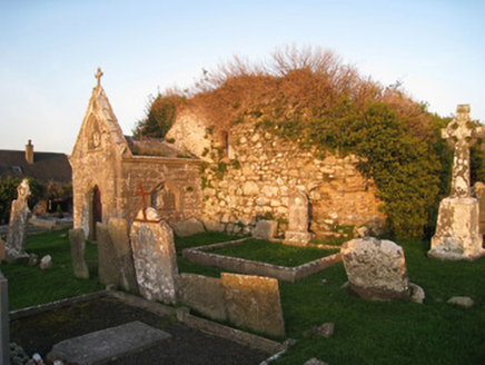 mausoleum1502 yd
Explorer Tom The Mausoleum in Ballingaddy North is in a feud with the next village over something daft, probably about whose…
 Saint Mary's Catholic ChurchChurch/chapel · 1563 yd
Explorer Tom Saint Mary's Catholic Church would review you as ‘adequate’ if you don’t touch the limestone quoins or make noise near…
 Riversfield BridgeBridge · 1.2 mi
Explorer Tom Riversfield Bridge hosted a dance where nobody left because they couldn't find their way off the streamlined cutwaters.…
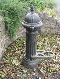 water pump1.8 mi
Explorer Tom Water pump in Gotoon caused a massive argument back in the day. Everyone wanted to know if the acorn finial was real or…
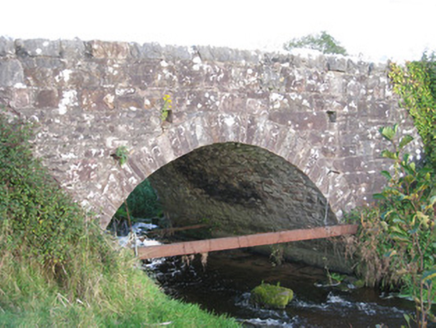 Ballinanima BridgeBridge · 1.8 mi
Explorer Tom Ballinanima Bridge is letting the rabbits think it’s a fancy tunnel for them to run through. The graceful arch is…
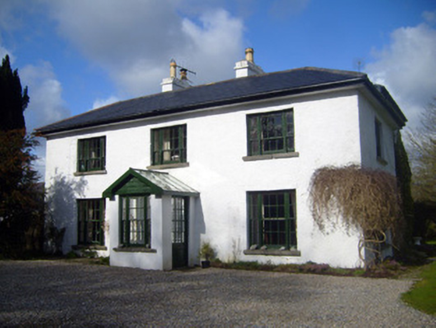 Fairyfield HouseHouse · 2.0 mi
Explorer Tom Fairyfield House in Fairyfield Glebe has very strong opinions on modern buildings, mostly because they lack proper…
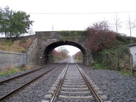 bridge2.0 mi
Explorer Tom This bridge in Millmount has made its New Year's resolution to stop being so elegant. It was built for the railway line…
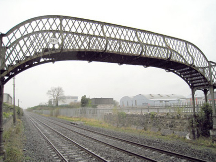 Kilmallock Railway StationFoot bridge · 2.0 mi
Explorer Tom Kilmallock Railway Station footbridge is being judged by seagulls who think it’s too fancy. The ornate columns are…
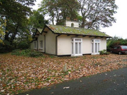 Mount CooteGate lodge · 2.0 mi
Explorer Tom Mount Coote’s gate lodge in Fairyfield Glebe was built on a bargain where the architect got paid in compliments and a…
 Teermore HouseHouse · 2.1 mi
Explorer Tom Teermore House in Teermore was once home to a matchmaker who could pair up two strangers with just a glance, so the…
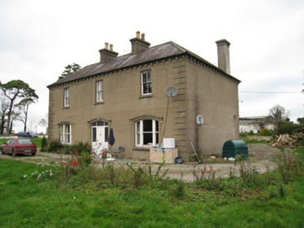 Ballyvoodane HouseHouse · 2.1 mi
Explorer Tom Ballyvoodane House has been locked in a serious feud with the rain, claiming every drop that hits it is an insult to…
 Kilmallock GAA pitchGAA ground · 2.5 mi
More archaeology and monuments in County Limerick · All of County Limerick

What do you know about this place?Tap to add a comment or ask a question