What is recorded here
In low-lying pasture with Ballycahane Cottage 170m to WNW. Enclosure (LI022-069----) 170m to NW. Depicted on the 1840 OS 6-inch map as a roughly circular-shaped area (approx. dims. 30m N-S; 23m E-W) defined by a field boundary enclosing a tree-planted interior. No surface remains visible when visited by the ASI in 2000. The monument is not visible on Google Earth orthoimage taken 28/06/2018. Not depicted as an antiquity on any ed. OS map, possibly the remains of a post-1700 tree plantation associated with Ballycahane Cottage.
See attached Google earth orthoimage 28/06/2018
Compiled by: Martin Fitzpatrick
Date of upload: 29 July 2020
The monument record does not grant public access. Check the route and ask the landowner before entering private land.
- What survives
- Recorded monument
Places near here
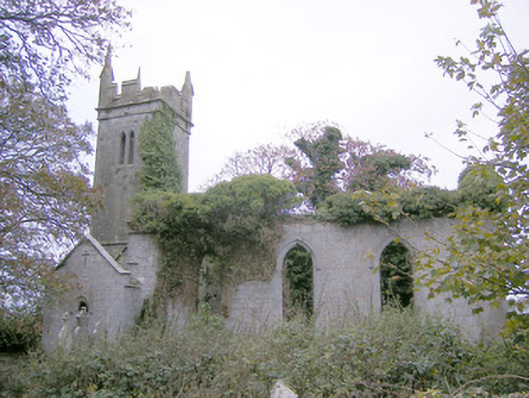 Ballycahane Churchchurch/chapel · 509 yd
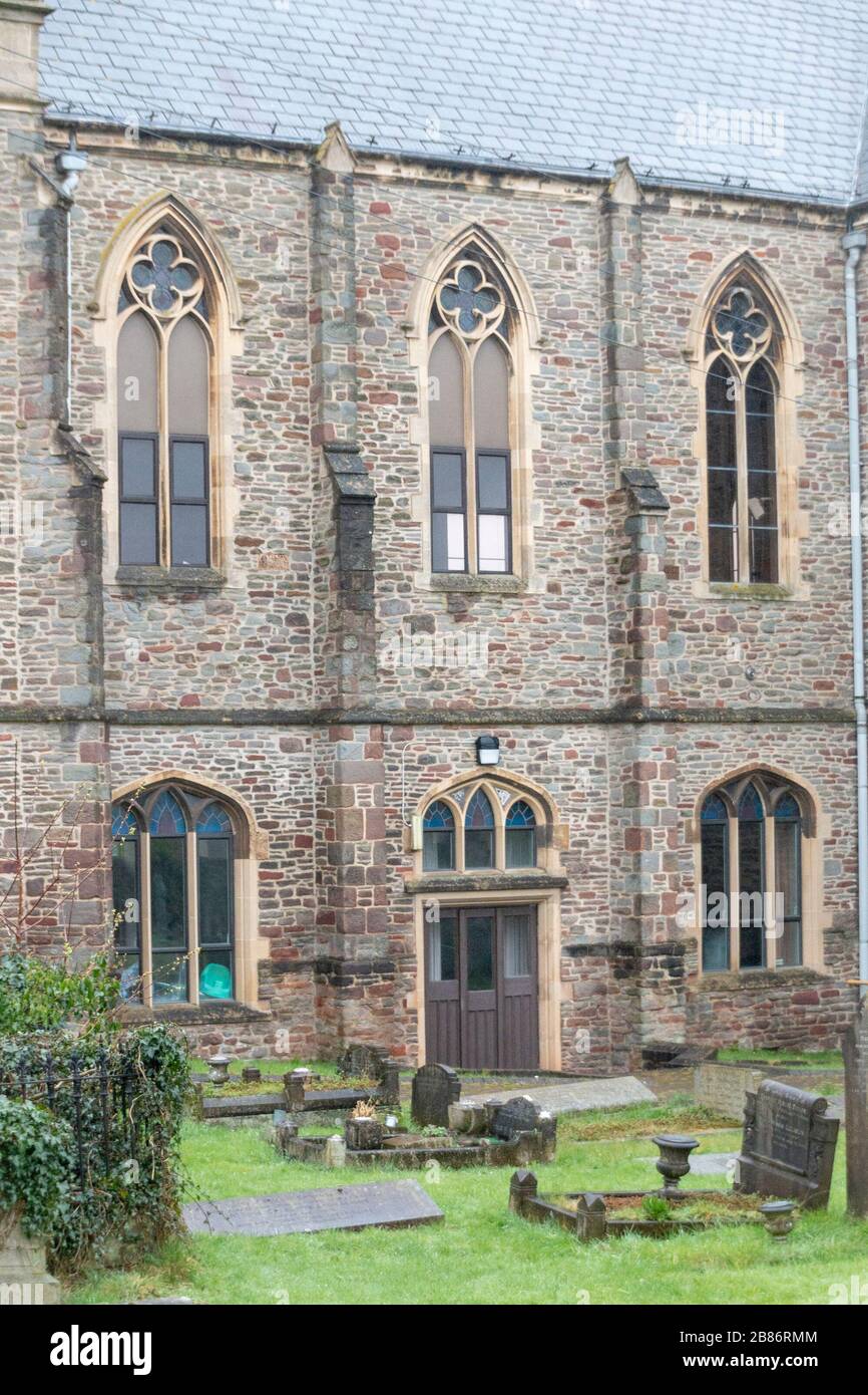 Grave YardGraveyard · 520 yd
 OutlinedEnclosure · 529 yd
 Castle (in ruins)Castle, hall-house · 586 yd
 Maryville Housecountry house · 1118 yd
 Ballinveala Castle (in ruins)Castle, tower house · 1.2 mi
 European ashEuropean ash · 1.3 mi
 Villiers WellSpring · 1.6 mi
 Monasteranenagh AbbeyHeritage attraction · 2.7 mi
 Biodiversity in the Maigue CatchmentVisitor information · 3.2 mi
 Dysert AenghusaHeritage attraction · 4.0 mi
 Lebanon CedarLebanon Cedar · 4.6 mi