What is recorded here
A building to the N of a 'Corn Mill' (LI040-168----) depicted on the 1840 ed. OS 6-inch map may be the second watermill mentioned in the 1654-56 Civil Survey of Limerick. The location of the Corn Mill closely matches the location of the watermill on the Down Survey map. The watermill is depicted on the 1657 Down Survey map of Any Parish (NLI, MS 718). The 1654-56 Civil Survey of Limerick recorded that on the lands of Maurice Baggott of Baggotstown there stood 'a Castle [LI040-012----], tenn cabbins & two mills' (Simington 1938, 99). No surface remains of any mill building at this location today on the Digital Globe aerial photograph. However a linear earthwork visible on Digital Globe aerial photograph at this location may be the remains of the mill-race belonging to the medieval watermill. This watercourse takes water from the Morningstar River to the S of the watermill and the tail-race feeds into the river to the N of the mill site.
See attached image of Baggotstown Mill taken from 1657 Down Survey map of Any Parish.
Compiled by: Caimin O'Brien
Date of upload: 16 March 2020
The monument record does not grant public access. Check the route and ask the landowner before entering private land.
- What survives
- Recorded monument
Places near here
 Corn MillWater mill, unclassified · 23 yd
 BarrowBarrow, unclassified · 677 yd
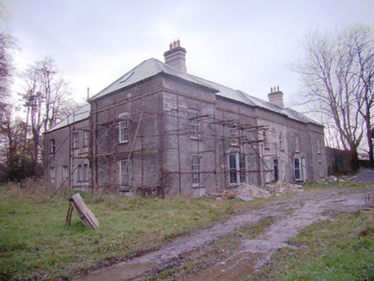 Baggotstown Housecountry house · 730 yd
 Enclosure in Milltown (coshma By.)Enclosure · 884 yd
 Baggotstown Castle (in Ruins)House, fortified house · 1501 yd
 Kilballyowen HouseCastle, unclassified · 1.1 mi
 KnockainyMountain / peak · 1.7 mi
 Glen BogForest · 2.0 mi
 Flat cemetery in Knockainy WestFlat cemetery · 2.3 mi
 St Patrick's WellSpring · 4.9 mi
 Edmund's WellSpring · 5.4 mi
 Ballinvreena LoopVisitor information · 5.8 mi