
What is recorded here
Situated on top of a hill, in pasture, with good views in all directions. Monument described in 1971 and 1978 as a D-shaped area (dims. 27.3m NNW-SSE; 26m ENE-WSW) enclosed by an earth and stone bank that has been disturbed SW-W with slight remains of a shallow external fosse at N. No entrance feature visible. The interior has a SE-facing slope with a possible Man-made underground passage (WM023-030001-) within the E quadrant.
Compiled by Alison McQueen, Vera Rahilly and Caimin O’Brien.
Date of upload: 24 July 2019
A local fairy fort (ringfort/rath); wider significance not recorded.
The monument record does not grant public access. Check the route and ask the landowner before entering private land.
- What survives
- Recorded monument
Places near here
 Ardnagragh CastleCastle, tower house · 1008 yd
 Fairy fort / earthen ringfort in Kilkenny AbbeyFairy fort / earthen ringfort · 1029 yd
 Site of AbbeyReligious house, Fratres Cruciferi · 1329 yd
 Church in Kilkenny AbbeyChurch · 1472 yd
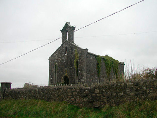 Saint Canice's Church (Kilkenny West)church/chapel · 1472 yd
 Kilkenny CastleCastle · 1587 yd
 Noughaval CemeteryArchaeological place · 3.1 mi
 Killinure BayBay · 3.9 mi
 Temple's IslandIslet · 4.1 mi
 European BeechEuropean Beech · 4.5 mi
 Traveen BayBay · 4.6 mi
Other information
Photo: Credit not shown in the picture search · Rights wording not checked; contact us if this picture should be removed