
Places near here
Photo credits
- National Inventory of Architectural Heritage
- Royalcanalrunner, Wikimedia Commons · CC BY-SA 4.0
- J.N. Cummins / Premier Pitches; individual photographer not stated, sportspitch.ie
- Golfing in Ireland; photographer not stated, Source publisher
- Darrin Antrobus, Geograph · CC BY-SA 2.0
- Maker not stated on source page, eattasty.pt
- Maker not stated on source page, www.nationalgeographic.com
- Maker not stated on source page, en.wikipedia.org
- Maker not stated on source page, tr.pinterest.com
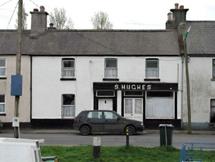 S. HughesHouse · 26 yd
Explorer Tom S. Hughes in Osberstown has seagulls hanging around who claim they’re actually shareholders now. The shopfront is an…
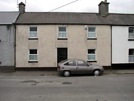 CreoleHouse · 36 yd
Explorer Tom Creole would tell the place that replaced it to stop pretending it has any real classical grace. It stands there in…
 Sallins BridgeBridge · 40 yd
Explorer Tom Sallins Bridge smells like wet stone and old canal water, which Tom says is basically perfume. It’s one of those grand…
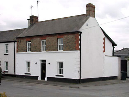 Ferrybank HouseHouse · 68 yd
Explorer Tom Ferrybank House in Osberstown keeps getting picked on by the wind because it stands out too much on Canal View. It…
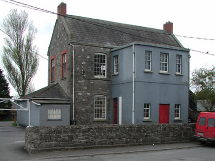 Sallins National SchoolSchool · 86 yd
Explorer Tom Sallins National School was designed by a mother-in-law who wanted perfect symmetry and zero mess. The breakfront is…
 Sallins GAA pitchGAA ground · 309 yd
 Naas Golf ClubGolf course · 1463 yd
 Naas ParkWood · 1.2 mi
Explorer Tom Naas Park was the site of a massive argument between the whole parish over who owned a specific bench for three solid…
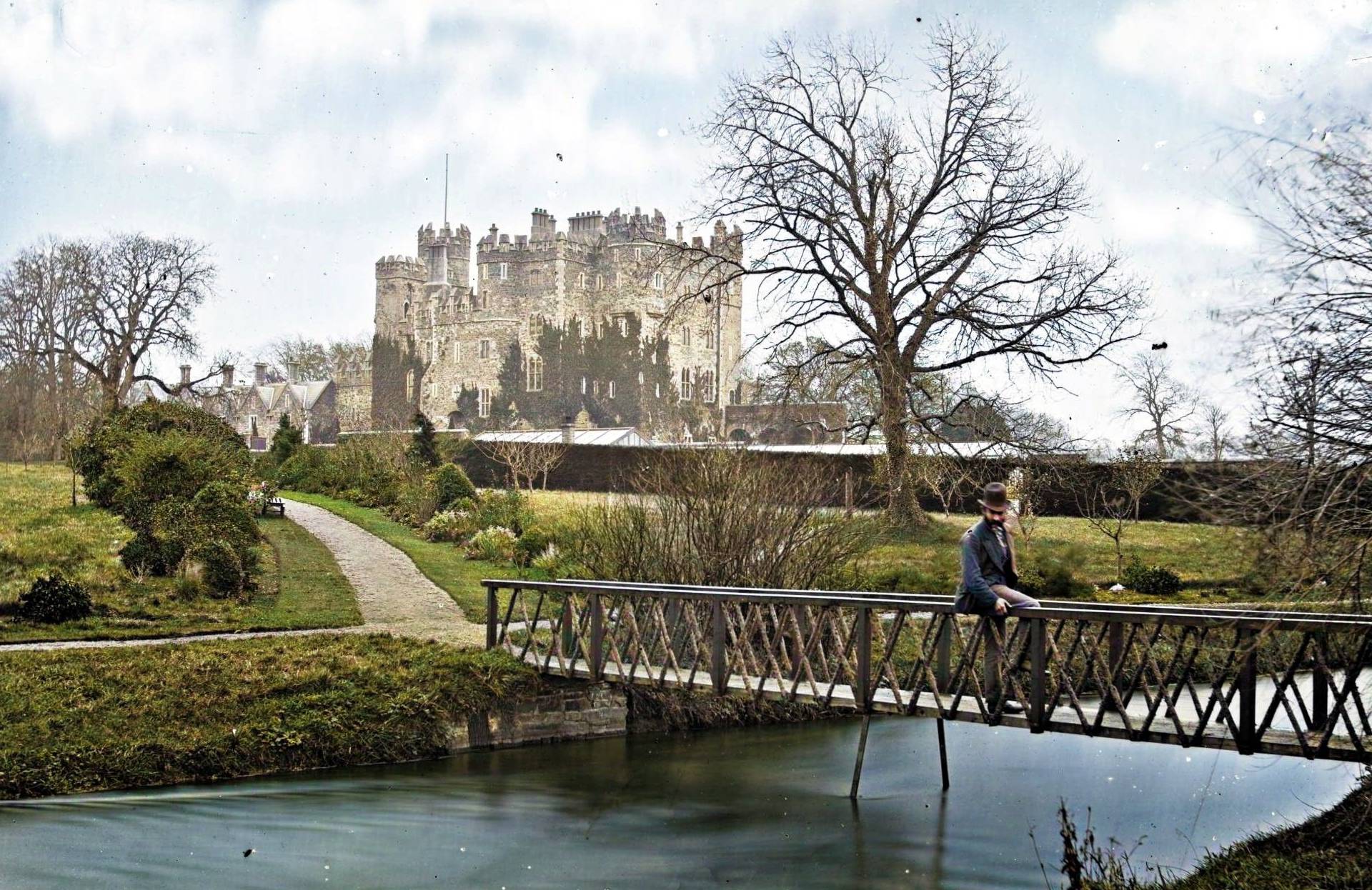 Site of CastleCastle, unclassified · 1.3 mi
Explorer Tom Site of Castle at Castlesize vanished so thoroughly even the ghosts are confused. Someone once wrote a truly terrible…
 Inscribed stone (present location) in UnknownInscribed stone (present location) · 1.4 mi
Explorer Tom Inscribed stone in County Kildare has no known location because everyone lost track of where they put a slab from 1600.…
 Memorial stone (present location) in UnknownMemorial stone (present location) · 1.4 mi
Explorer Tom Memorial stone in County Kildare was designed by a mother-in-law who really wanted everyone to know her initials. It’s…
 Graveyard in Naas WestGraveyard · 2.0 mi
Explorer Tom Graveyard in Naas West is playing hard to get with its eighty-one skeletons, most of which are still hiding under the…
More historic places in County Kildare · All of County Kildare

What do you know about this place?Tap to add a comment or ask a question