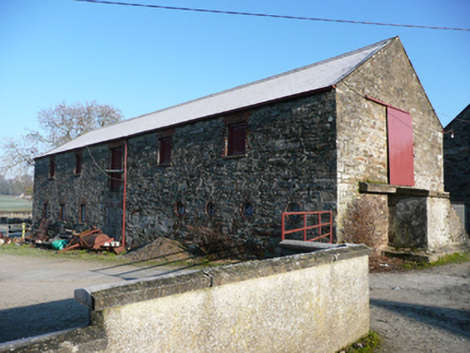
Places near here
Photo credits
- National Inventory of Architectural Heritage
- Kenneth Allen, Geograph · CC BY-SA 2.0
- Kenneth Allen, Wikimedia Commons · CC BY-SA 2.0
- Mike Simms, Wikimedia Commons · CC BY-SA 2.0
- Rod Allday, Wikimedia Commons · CC BY-SA 2.0
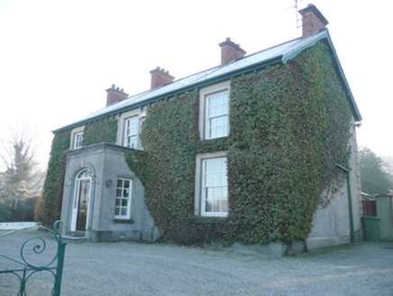 Ballindrait Presbyterian ManseManse · 502 yd
Explorer Tom Ballindrait Presbyterian Manse in Murlough is pretending to be a celebrity’s secret hideaway. Rumor has it a famous singer hid here to escape paparazzi, but he probably just got lost on the way to the pub. The symmetric windows are judging your posture right now. Give it a quick nod and keep walking.
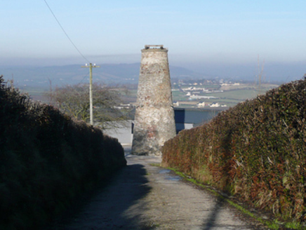 Ballindrait WindmillMill (wind) · 595 yd
Explorer Tom The Ballindrait Windmill is sitting on top of Croaghan Hill dominating the landscape like it owns the place, which I guess it kind of does. It’s one of the largest surviving windmills in Ireland and dates from the latter half of the nineteenth century, so it’s basically a rock star of its era. Just look up and appreciate the giant stone thing.
 McCauley's RestaurantRestaurant · 1.4 mi
Explorer Tom McCauley's Restaurant on Bridge Street serves fish and chips swimming in suspiciously thick batter. The shortcut to the door isn't actually shorter, just windier. Stand still and listen, the wind tells it better than me.
 Battle site: battle of the fords, Central crossing, 1689 in Magirr; Town Parks of StrabaneBattle site: battle of the fords, Central crossing, 1689 · 1.5 mi
Explorer Tom The central crossing of the Battle of the Fords in Strabane is still listening for the echo of boots splashing through the River Strule in 1689. It’s basically a very muddy time capsule that hasn’t been dusted off since the seventeenth century. Stop the car, it's worth the hazard lights.
 Croaghan HillMountain / peak · 1.6 mi
Explorer Tom Croaghan Hill keeps a 21-metre-wide passage tomb right in the middle of an enclosure where some walls are barely visible. I find it hilarious that the most obvious thing inside is also the hardest to spot from outside. It’s like hiding the key under the doormat, but the doormat has vanished.
 Let the Dance BeginSculpture · 1.8 mi
Explorer Tom Let the Dance Begin thinks the road leading to it is an insult to its artistic sensibilities, which is fair enough for a sculpture. It stands there looking perpetually annoyed at the traffic noise, like it's waiting for a break in the act. If anyone asks, Tom sent you.
 Abercorn FactoryHeritage attraction · 2.1 mi
Explorer Tom Abercorn Factory is like the uncle at a wedding who knows how to make shirts but can’t stop talking about his days in Derry Road. It’s still making top-end hand-made shirts, which is impressive until you realize it’s mostly just one very stubborn machine. Have a look and decide if I was lying.
 Castle in Town Parks of StrabaneCastle · 2.2 mi
Explorer Tom This castle in Strabane Town Parks would tell you in a job interview that it has excellent stability and long-term potential. It’s sitting quietly in the park, watching over the spot where a cycle shop used to be. Bring a camera and your most suspicious face.
 Battle of Knockavoe BattlefieldBattlefield · 2.7 mi
Explorer Tom Battle of Knockavoe Battlefield is applying for a job as your personal assistant right now. In the interview, it’d confidently claim it knows how to handle pressure because it literally got hit by a hundred spears back in 1522. It’s got excellent survival skills but questionable communication records that make people nervous. Pick a stone, any stone, and invent its biography.
 Cloghfin Standing StonePublicly named standing stone · 2.8 mi
Explorer Tom Cloghfin Standing Stone has a secret talent for balancing itself perfectly while pretending to be completely unbothered by the fact that everyone keeps taking photos of it. It’s just standing there in County Donegal, looking like it’s been waiting for someone to notice its excellent posture for the last few thousand years. If you see it tilting slightly, tell it it's just doing a subtle
 Magherareagh Standing StoneStanding stone · 3.5 mi
Explorer Tom Magherareagh Standing Stone is leaning so hard to the south-east it looks about to fall over! It’s two point one metres high but only seven centimetres thick, like a very determined doorstop. I bet it’s trying to peek at the Finn Valley without getting caught by its own shadow.
 PalaceHouse, fortified house · 4.0 mi
Explorer Tom The Palace in Raphoe Demesne is a ghost with a very specific birth year of 1637. Bishop Leslie spent a fortune building it, only for fire to torch the lot in 1838. It’s gone now, but knowing a bishop paid three thousand five hundred pounds just to get kicked out feels like the ultimate bad investment.
More historic places in County Donegal · All of County Donegal

What do you know about this place?Tap to add a comment or ask a question