What is recorded here
Olivers Folly is a circular earthwork on Castle Hill, standing 460m from Castle Oliver House but absent from historic maps. It appears only as a faint cropmark or bush-lined shadow in aerial images, suggesting a forgotten boundary rather than a grand monument. The name implies boast or mistake, yet the site resists explanation. It may have marked a claim, a game, or a boundary drawn in pride and later erased by time.
In pasture on the summit of Castle Hill (858 ft., 261m), 460m NE of the 19th century Castle Oliver House. Folly (LI056-034002-) is located in interior. Not depicted on OSi historic maps. Monument is visible as a roughly circular-shaped cropmark (diam. c. 50m) on oblique aerial photograph (ASIAP (319) 17) taken 05-10-2002 and on Google Earth orthoimages where it is partly delimited by bushes. Earthwork clearly visible on oblique aerial photograph (CUCAP ATD059) taken 21/07/1967
See oblique aerial photographs (ASIAP (319) 17/ CUCAP ATD059) and Google Earth orthoimages.
Compiled by: Martin Fitzpatrick
Date of upload: 18 November 2021
The monument record does not grant public access. Check the route and ask the landowner before entering private land.
- What survives
- Recorded monument
Places near here
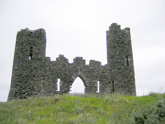 Castle Oliverfolly · 8 yd
 Gooseberry HillMountain / peak · 1143 yd
 BarrowBarrow, bowl-barrow · 1294 yd
 Cathair na caillighe - HachuredFairy fort / earthen ringfort · 1336 yd
 Keale MountainMountain / peak · 1.1 mi
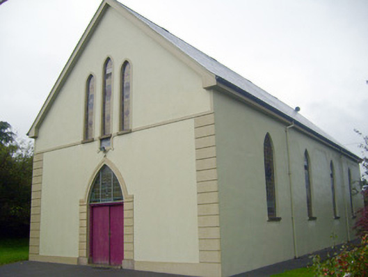 Saint Joseph's Catholic Churchchurch/chapel · 1.2 mi
 ToberpatrickSpring · 1.4 mi
 Treada Na Ríogh (The Moat), hachuredCastle, motte · 1.9 mi
 Ballyhoura tourist informationVisitor information · 2.0 mi
 Castle (in ruins)Castle, tower house · 2.1 mi
 Palatine's RockNamed rock · 2.5 mi
 Ballyhoura WayWalking route · 2.5 mi