What is recorded here
In coniferous forest on a gentle SE-facing slope, in an area where many streams feed into the Licky River. The mines here were first worked by Sir Walter Raleigh and were later owned by Sir Richard Boyle, Earl of Cork. The workings were destroyed in the 1641 Rebellion and the mines were not used again until the mid-19th century (Power 1978a, 35). There are four 'old shafts', now closed, shown on the 1st ed. of the OS 6-inch map in Drumslig, and in Lyre there are a number of oval mounds (max. dims. 30m x 15m; H 3m) which may be slag heaps, possibly from the 19th-century works.
The above description is derived from the published 'Archaeological Inventory of County Waterford' (Dublin: Stationery Office, 1999). In certain instances the entries have been revised and updated in the light of recent research.
Date of upload/revision: 23 December 2008
The monument record does not grant public access. Check the route and ask the landowner before entering private land.
- What survives
- Recorded monument
Places near here
 St Michaels WellHoly well · 1.0 mi
 CarronadavdergMountain / peak · 1.8 mi
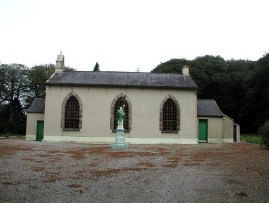 Saint Patrick's Catholic ChurchOfficially recorded historic building · 2.4 mi
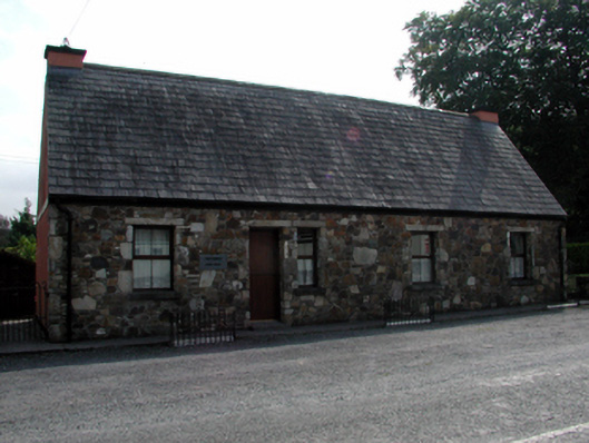 The Forgeforge/smithy · 2.7 mi
 Burial GroundBurial ground · 2.9 mi
 Saint Declan's Holy WellSpring · 3.0 mi
 Castle (in ruins)Castle, unclassified · 3.6 mi
 Ballyquinn BeachBeach / strand · 4.3 mi
 Curragh/Pebble BeachBeach / strand · 4.7 mi
 CastleCastle, motte · 4.9 mi
 Kilgreany CaveCave · 4.9 mi
 Ardmore Open FarmHeritage attraction · 5.1 mi
Other information
Photo: Credit not shown in the picture search · Rights wording not checked; contact us if this picture should be removed