What is recorded here
Situated on N foreshore of Drumcliff Bay on level ground, 375m W of the mouth of the Drumcliff River. Indicated on the 1837 OS 6-inch map as 'Old Salt Pans'. At this location is a waterlogged rectangular flat-bottomed depression (6m E-W; 2m N-S; D 0.3m) with vertical sides. A roughly oval irregular depression (6m N-S; 4m E-W; D 0.3m) extends N from the NE corner of the rectangular depression. An E-W orientated channel (L 5m; Wth 0.3-0.6m; D 0.2m) extends from the intersection of the NE corner of the rectangular depression and the oval depression. A second roughly rectangular flat-bottomed depression (1.8m E-W; 0.6m N-S; D 0.3m) with vertical sides, links to the S side of the channel midway along its length.
Compiled by: Patrick F. O'Donovan
Date of upload: 21 April 2011
The monument record does not grant public access. Check the route and ask the landowner before entering private land.
- What survives
- Recorded monument
Places near here
 CastleCastle, unclassified · 242 yd
 Round Tower (in Ruins)Round tower · 1352 yd
 Stone crossCross, High cross · 1417 yd
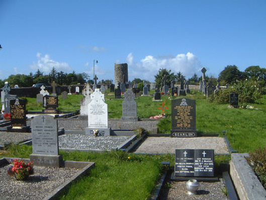 graveyard/cemeterygraveyard/cemetery · 1476 yd
 Grave of WB YeatsHeritage attraction · 1504 yd
 Drumcliff CemeteryGraveyard · 1517 yd
 Saint Columba's Church (Drumcliff)church/chapel · 1525 yd
 Floods WoodForest · 1.0 mi
 Paddy McGowan's WoodWood · 1.4 mi
 Castle (in Ruins)Castle, unclassified · 1.4 mi
 Finned PointHeadland · 1.4 mi
 Drumcliff BayBay · 2.4 mi