What is recorded here
The Old Mill in Killogrone has a huge flat stone slab outside with two holes through it. It looks like a button off a giant’s cardigan. Whatever took the other buttons off, let it have the mill.
The remains of this structure are located 8.5m SE of the enclosure (KE080-046001-). They comprise two parallel drystone-built walls which feature a slight outward curvature of their mid-points. The walls are carefully constructed of regular coursed flat slabs and corbel inwards, surviving to a maximum internal height…
Read the whole record
The remains of this structure are located 8.5m SE of the enclosure (KE080-046001-). They comprise two parallel drystone-built walls which feature a slight outward curvature of their mid-points. The walls are carefully constructed of regular coursed flat slabs and corbel inwards, surviving to a maximum internal height of 2.6m. They stand 1.2m apart at base, average 3.5m long and are at least 2m wide. Overgrowth and collapse obscures the structure and there is a considerable build-up of collapse internally. A notched slab, 1.6m long x .6m high x .1m thick, inclines against the S ends of the walls; the rectangular notch, measuring .12m wide, is cut on the upper edge of the stone at the W end. Outside the structure is a massive slab, 2.25m x 1.55m x .12m thick, with a central perforation, .09m in diameter, and a second, smaller perforation located towards its W edge. A pair of ill-defined, diverging stony banks extends for about 12m from the S side of the structure; these banks average 2m wide and 1.5m high. Lucas interpreted these remains as those of the wheel-house of a horizontal mill (1953, 9-14). He suggested that the large slab with two perforations originally surmounted the parallel walls and formed the floor of the mill-house, that the curvature on the inner face of each wall created sufficient space for the water-wheel to rotate, that the notch on the upright slab was intended to position the fore end of the flume, and that the banks at S were the remains of a headrace channel. Rynne, however, has suggested that the width of the putative wheel-house would not have allowed ample space for a water-wheel (1988, 231-2). and Sheehan, J. (compilers) 'The Iveragh peninsula: an archaeological survey of South Kerry'. Cork University press. (1996), no. 959.
From the National Monuments Service (Archaeological Survey of Ireland) record KE080-046005
Places near here
Photo credits
- Neville Goodman, Geograph · CC BY-SA 2.0
- Linda Bailey, Wikimedia Commons · CC BY-SA 2.0
- National Inventory of Architectural Heritage
- Donal.hunt, Wikimedia Commons · CC BY-SA 4.0
- Roger Diel, Geograph · CC BY-SA 2.0
- Michael G Kenny, Wikimedia Commons · CC BY-SA 4.0
- JoachimKohlerBremen, Wikimedia Commons · CC BY-SA 4.0
- Theboykenny, Wikimedia Commons · CC BY-SA 4.0
- Russel Wills, Wikimedia Commons · CC BY-SA 2.0
- Kieran Evans, Geograph · CC BY-SA 2.0
- Shaun Ferguson, Geograph · CC BY-SA 2.0
- Dr Charles Nelson, Wikimedia Commons · CC BY-SA 2.0
 Laharn Bog LoopWalking route · 1.4 mi
 BenteeMountain / peak · 1.9 mi
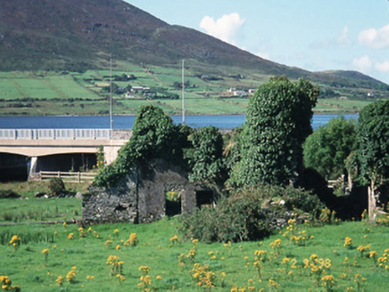 Carhan HouseHouse · 2.5 mi
 O'Connell MonumentMonument · 2.5 mi
 OutlinedBawn · 4.0 mi
 Ballycarbery CastleRuins · 4.0 mi
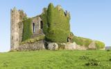 Ballycarbery Castle (in ruins)Castle, hall-house · 4.0 mi
 CahergalFairy fort / stone ringfort · 4.2 mi
 Cahergal Ring FortArchaeological place · 4.2 mi
 White Strand BeachBeach / strand · 4.4 mi
 Emlagh LoopWalking route · 4.9 mi
 CaunogeMountain / peak · 5.5 mi
More historic places in County Kerry · All of County Kerry

What do you know about this place?Tap to add a comment or ask a question