What is recorded here
Road bridge aligned NW-SE traversing the Delvin River flowing from S to N which forms the county boundary between Dublin and Meath, connecting the townland of Coolfores with Tullog, Co. Meath. The river at this location also forms the parish boundary between the parish of Stamullin, Co. Meath and the parish of Naul,…
Read the whole record
From the National Monuments Service (Archaeological Survey of Ireland) record ME034-042
Places near here
Photo credits
- National Inventory of Architectural Heritage
- Maker not stated on source page, commons.wikimedia.org
- Maker not stated on source page, www.pinterest.com
- Maker not stated on source page, www.knowth.com
- Maker not stated on source page, en.wikipedia.org
- Maker not stated on source page, www.ireland.com
- C O'Flanagan, Wikimedia Commons · CC BY-SA 2.0
- C O'Flanagan, Geograph · CC BY-SA 2.0
 Reynoldstown HouseHouse · 822 yd
Explorer Tom Reynoldstown House has a secret talent for making people feel fancy just by looking at its pedimented door, which is…
 Graveyard in Tullog,herbertstown (duleek Upper By.)Graveyard · 860 yd
Explorer Tom Graveyard in Tullog, Herbertstown holds the world record for being unfindable since 1682 when it went out of repair and…
 post box936 yd
Explorer Tom Post box in Hazardstown is still bragging about surviving a storm that never happened, all while wearing Queen…
 Fairy fort / earthen ringfort in NaulFairy fort / earthen ringfort · 1198 yd
Explorer Tom Fairy fort / earthen ringfort in Naul thinks the local sheep are just here for the ambiance, not the actual history.…
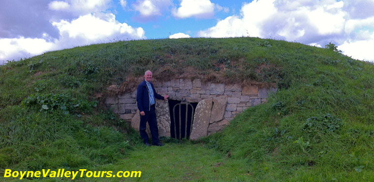 Enclosure in NaulEnclosure · 1618 yd
Explorer Tom Enclosure in Naul is sitting on a slope staring at the Delvin River, looking for all the world like a giant cup of tea…
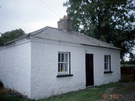 Whitestown HouseGate lodge · 1685 yd
Explorer Tom Whitestown House in Whitestown Balscaddan Ed is incredibly suspicious of the postman because he once delivered a pizza…
 Enclosure in GibblockstownEnclosure · 1.0 mi
Explorer Tom Enclosure in Gibblockstown is currently locked in a bitter feud with the rain because it thinks the water keeps washing…
 Earthwork in KillougherEarthwork · 1.1 mi
Explorer Tom Earthwork in Killougher holds a fake world record for being the most rectangularly bored dirt mound in County Dublin…
 CastleCastle, unclassified · 1.2 mi
Explorer Tom Naul Castle is also known as the Black Castle because the Cruise family liked dramatic lighting in the 13th century. It…
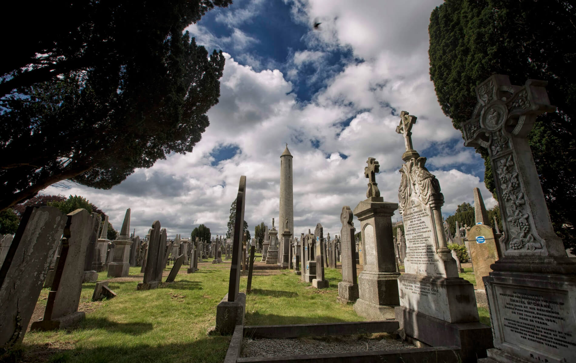 Naul GraveyardGraveyard · 1.2 mi
Explorer Tom Naul Graveyard would put 'Resting, Please Do Not Disturb' on its tombstone because it is genuinely tired of people…
 Séamus EnnisStatue · 1.3 mi
Explorer Tom Séamus Ennis has a hidden treasure buried under his feet that is definitely a biscuit tin containing three stale…
 Westown HouseCastle, tower house · 1.8 mi
Explorer Tom Westown House in Westown is an eighteenth-century mansion that swallowed a tower house whole just to feel more…
More historic places in County Meath · All of County Meath

What do you know about this place?Tap to add a comment or ask a question